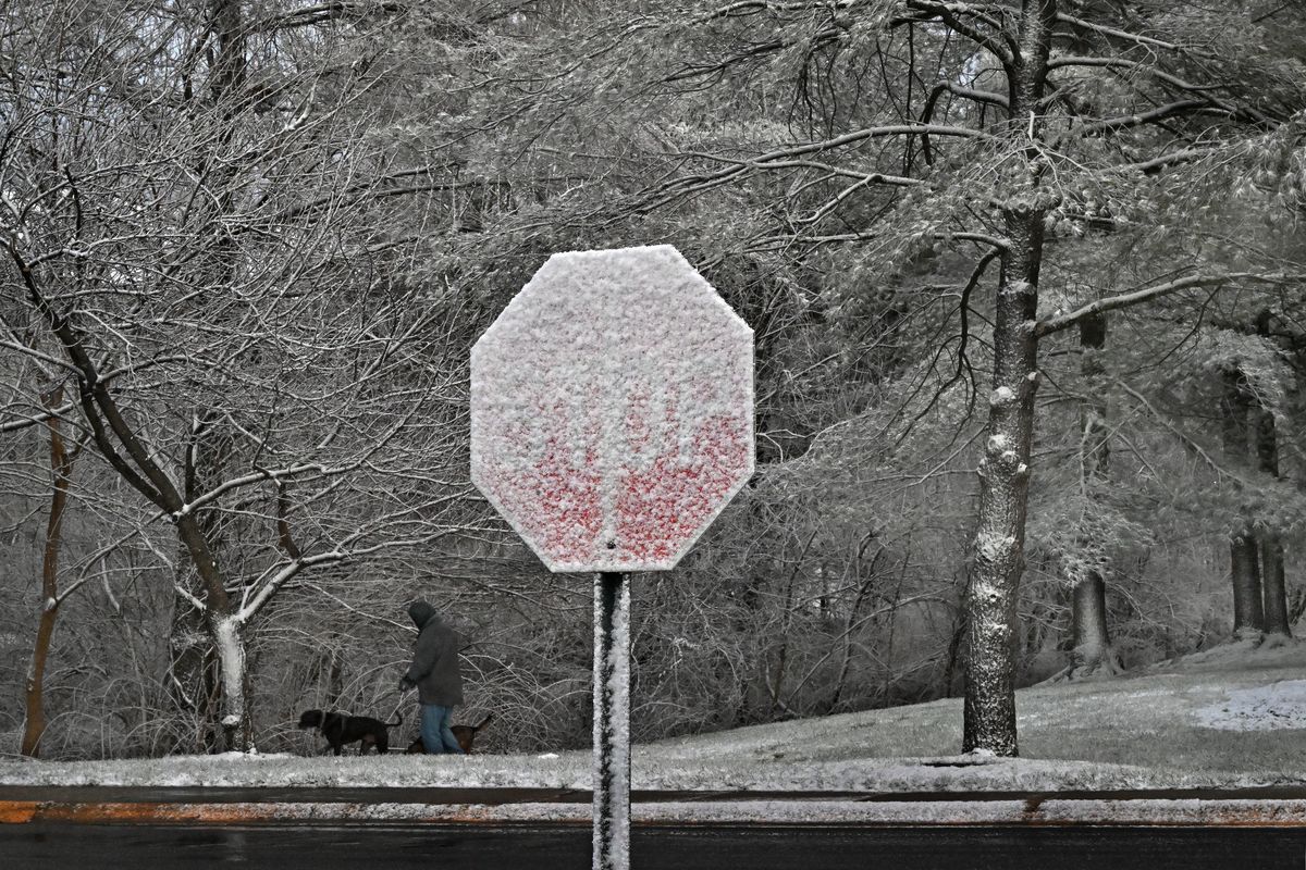
Heavy snow and ice storms soon to hit a swath of the U.S.

A major winter storm is about to trek 1,500 miles across the United States, dumping snow, sleet and freezing rain from the Plains to the East Coast. Much of the affected areas will be plastered by up to a foot of heavy, wet snow, with a full-fledged ice storm for others. Parts of the Deep South are even at risk for an isolated tornado on the warm side of the winter storm.
Winter storm warnings are in effect for 10 states from Kansas to West Virginia, and will be expanded into Virginia and the Delmarva Peninsula by Saturday afternoon. Ice storm warnings have been issued from the Missouri Ozarks to western Kentucky, where up to 0.75 inches of gradual and increasing ice accumulation will render travel impossible. It’s also likely that with dangerous freezing rain will come thunder and thundersleet.
The National Weather Service warned Saturday that people should “consider delaying all travel” and that any drivers “should use extreme caution if travel is absolutely necessary.”
The wintry wallop comes as a blast of Arctic air will invade much of the Midwest, Great Lakes and northern United States for roughly a week.
While some moderation is expected by Jan. 10, temperatures are expected to remain well below average for the eastern half of the Lower 48.
“Wind chill values will drop into the single digits or below zero at times, which can be even more dangerous with any long duration power outages,” wrote the National Weather Service in Paducah.
Where the storm is now
Technically speaking, the storm hasn’t formed yet - but it is in the process of coming together now.
A high-altitude disturbance worked into the Pacific Northwest on Friday night and is diving southeast over the Rockies. As it passes over the Plains on Saturday night, it will help a new surface low-pressure system form over Oklahoma - it will become this major winter storm.
The system will scoop moisture from the Gulf of Mexico northward, leading to heavy snow on its cold side. But it will also help tug some Gulf warmth northward as well, leading to a messy wintry mix along the snowstorm’s southern edge.
In the warm sector of the system, where temperatures are mild ahead of the cold front, severe weather is possible.
The Storm Prediction Center has issued a Level 3 out of 5 enhanced risk of severe weather on Sunday for parts of the Lower Mississippi Valley. A Level 2 risk covers most of Louisiana and Mississippi. Locally damaging wind gusts and an isolated tornado are possible within a squall line - an organized line of thunderstorms - that will develop along the storm’s cold front on Sunday afternoon.
When, where and how much snow will fall
Snow will blossom across Kansas on Saturday evening, with some spreading into southern Nebraska. Parts of northeast Kansas, including the Kansas City metro area, could see 8 to 12 inches of snow.
Northern Missouri, the southern half of Illinois, south central Indiana and southern Ohio could pick up 8 to 12 inches of snow, too - where the forecast for precipitation remains mostly or all snow.
On the southern fringe of the snow jackpot zone, sleet and freezing rain will cut back some on snow totals. Still, a more serious impact is likely where precipitation mixes, since freezing rain washes away any pretreatment placed on roadways.
Most of the snow will fall west of the Appalachians on Sunday.
By the predawn hours Monday, snow is expected to shift east of the Alleghenies in West Virginia, where close to a foot of snow is expected. Then the system slides through Virginia, Maryland and Delaware.
A general 5 to 10 inches is likely for the Washington D.C. area, with localized totals of a foot of snow somewhere across the Mid-Atlantic. For southeastern Virginia, snow may mix with freezing rain or sleet on Monday afternoon.
Where ice will be an issue
Precipitation may actually start as freezing rain or drizzle across Kansas on Saturday evening before transitioning to snow. Along and southeast of Interstate 40 in Missouri, precipitation will be mostly freezing rain. About 0.3 to 0.5 inches of ice accretion is probable, with up to 0.65 inches in the Mark Twain National Forest.
The jackpot, where ice will be most severe, may be near Frederickstown, Missouri.
Thunder and lightning will accompany the freezing rain, but may actually help cut back on how quickly rain can freeze. Bigger raindrops freeze more slowly. And when rain falls faster, it also has a tougher time freezing quickly. That’s because raindrops release a small amount of stored heat when they freeze, which can warm surrounding raindrops as well as the environment.
Only about a third or half of the rain that falls in southeast Missouri will be able to freeze - but that will still lead to serious ice accretions.
That swath of freezing rain will continue toward Cape Girardeau along the Illinois and Missouri border, as well as in Paducah, Kentucky. and near Evansville, Indiana.
Localized ice accretions of 0.75 inches can’t be ruled out.
It only takes a half inch of ice to cause power lines to fall, so even the small amounts of ice predicted could cause concerning impacts to infrastructure.
- - -
Ben Noll contributed to this report.