Weekend rain could lead to slush and floods after snowstorms in Spokane area
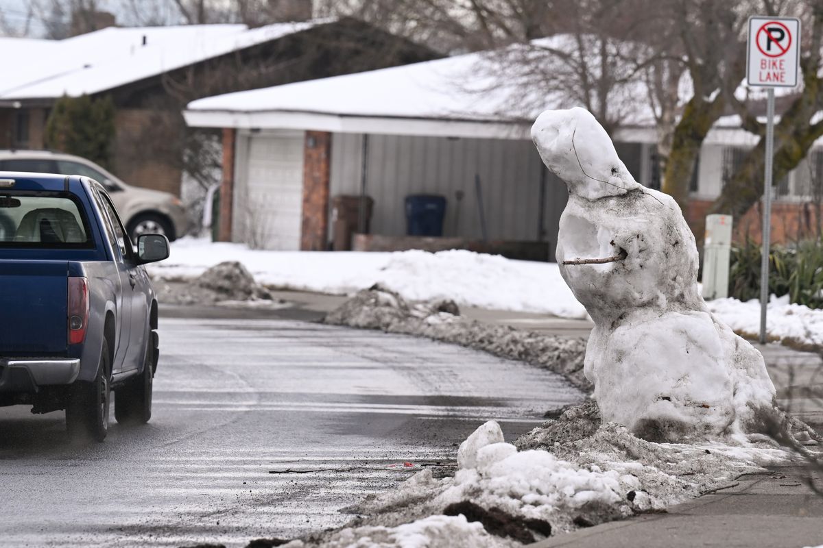

A snowman on Northwest Boulevard veers from vertical to horizontal as temperatures rise on Friday in Spokane. (Tyler Tjomsland/The Spokesman-Review)
The Spokane-area winter will officially transition this weekend from snow-and-cold to warm-and-wet.
A wave of weather systems will bring rain Saturday, Sunday and Monday into Tuesday that should bring up to an inch of rain. In addition, periods of breezy conditions early in the week, coupled with thawing wet soils, could cause some trees to uproot.
“Our soil temperatures will be inching above freezing,” said Laurie Nisbet, a meteorologist with the National Weather Service. “With super-saturated ground, and breezy conditions, there could be some concerns for tree damage on Tuesday.”
Pushed by a weather system coming in from the Pacific Ocean, the lows starting Saturday will remain higher than normal and above freezing in the Spokane area, Nisbet said.
“The high temps will be in the 40s to around 50, maybe above 50 in some of the lower parts around Spokane,” she said.
Rain will also come in shifts, along with periods of wind. Those breezy conditions are projected to bring gusts as high as 20 to 30 mph over the weekend and as high as 35 mph on Tuesday, she said.
“We will see three different waves of rain. The first is Saturday, then the second is Saturday evening through Sunday,” Nisbet said. “Then there’s a break Monday morning, and the third system comes Monday afternoon through Tuesday.”
Spokane could get about an inch of rain, with 1.4 inches forecast for Coeur d’Alene and 1.25 inches in Deer Park, she said. The snow level is rising to about 3,500 feet on Saturday and 5,500 feet on Sunday, with most area mountains getting rain, as well.
The system should also hit the Palouse with similar amounts. Nisbet noted that Paradise Creek, which flows from Moscow, Idaho, to Pullman, is projected to reach flood stage.
On Friday, the city of Moscow Public Works Department sent a news release saying that city officials were monitoring Paradise and Hogg creeks and the South Fork of the Palouse River with the upcoming warm and wet weather.
They asked residents to watch for lowland flooding and clogged storm drains in certain areas.
Nisbet said the same conditions could lead to problems in Spokane. She noted that Spokane International Airport still had 7 inches of snow on the ground as it entered the weekend.
“So, with the warm temperatures and breezy winds, it’s going to eat away all of the snow on the ground,” she said. “Not only are we going to get three-quarters of an inch of rain, but we will have all that melting snow added to it as well.
“That’s getting closer to 2 inches of water. That raises concerns for low-lying fields and drainages. If you have storm drains that are blocked from pine needles, it could cause problems.”
Water gathering on roadways may cause added hazards because drivers will not be able to avoid hidden potholes, Nisbet said.
The rainfall will add to a region that remains about 3 inches above average for moisture this time of year.
“I would say after this event, we will continue to be well ahead on rainfall for our area,” she said. “We’ll know the final numbers next week.”