Spokane area should see more snow, then warming trend
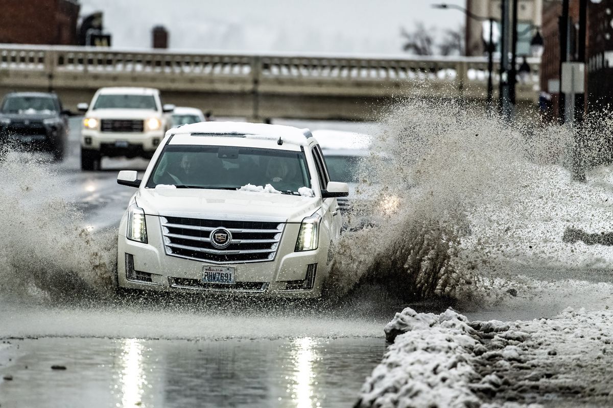
A car plows through a large slush puddle on Monroe Street at Third Avenue in December 2022 in Spokane. (COLIN MULVANY/THE SPOKESMAN-REVIEW)
The weather system that recently dumped snow over the region apparently is not yet done with the Lilac City. The forecast calls for up to an inch more Tuesday night into Wednesday morning.
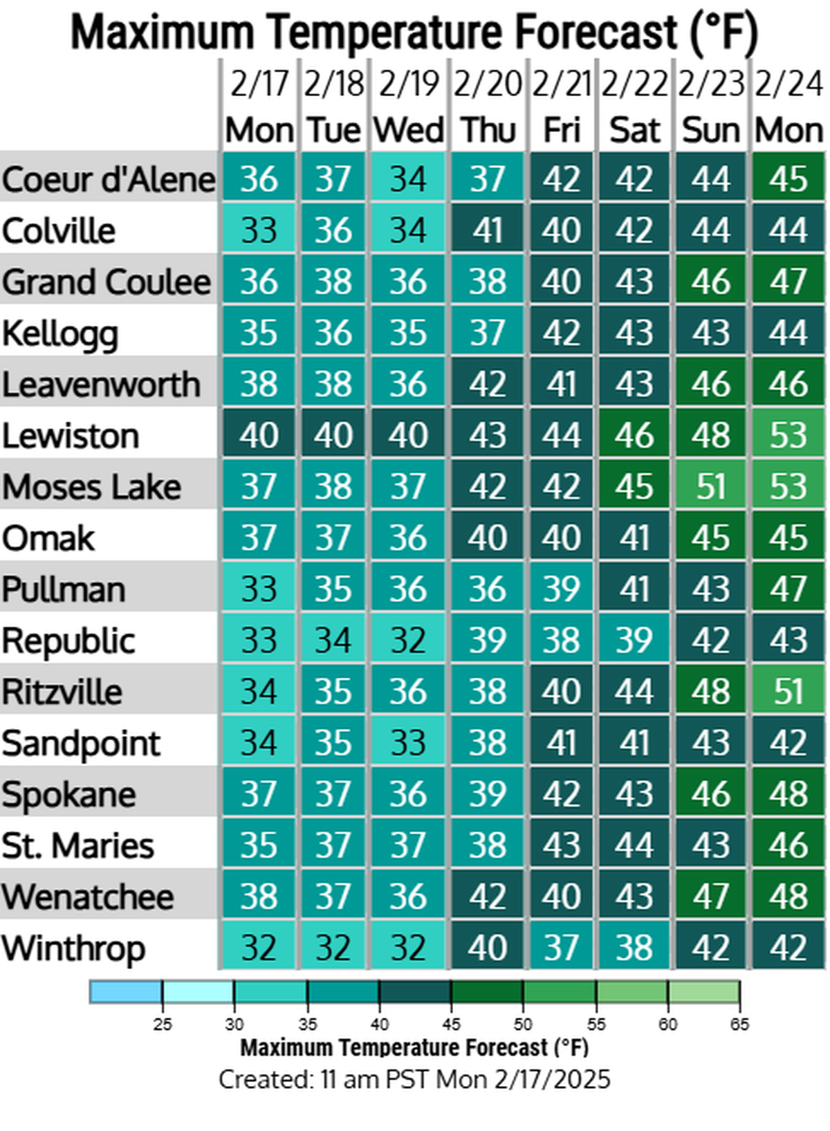
However, high temperatures already have begun to climb and should rise into the low 40s by this weekend, when another storm system is due to hit the region, said Dan Butler, a meteorologist at the National Weather Service, which is based locally at Spokane International Airport.
The next bout of snow should start falling in the early morning hours of Wednesday, Butler said.
“But with a high of about 35 degrees, it shouldn’t stick around long.”
The high temperatures will then climb to about 38 on Thursday, then 41 on Friday and in the mid-40s for Saturday and Sunday. The lows during those days will range from about 30 to 33, which should help melt the snow that fell this past weekend.
“There’s going to be another system, late this weekend,” Butler said. “It will send the snow levels pretty high because it’s going to be pretty warm. We are looking at rain in the lowlands and snow level up to 5,000 to 6,000 feet.”
Forecasting rain amounts that far out can be tricky, but Butler said the Spokane area could see as much as an inch.
“So, it will be reminiscent of what happened in December: rain, rain, rain,” he said.
The precipitation levels for this time of year continue to tell diverging stories. The latest storm pattern added about 6% to the Spokane watershed snowpack, boosting it to about 86% of normal, Butler said.
However, the region remains ahead of the average for the water year, which begins on Oct. 1. Since that time, the Spokane region has recorded 11.51 inches of water precipitation, while the average level is 8.56 inches.
“So, we are just under 3 inches above normal” for water precipitation this time of year, Butler said.