Comprehensive plan for Pacific Northwest Trail released

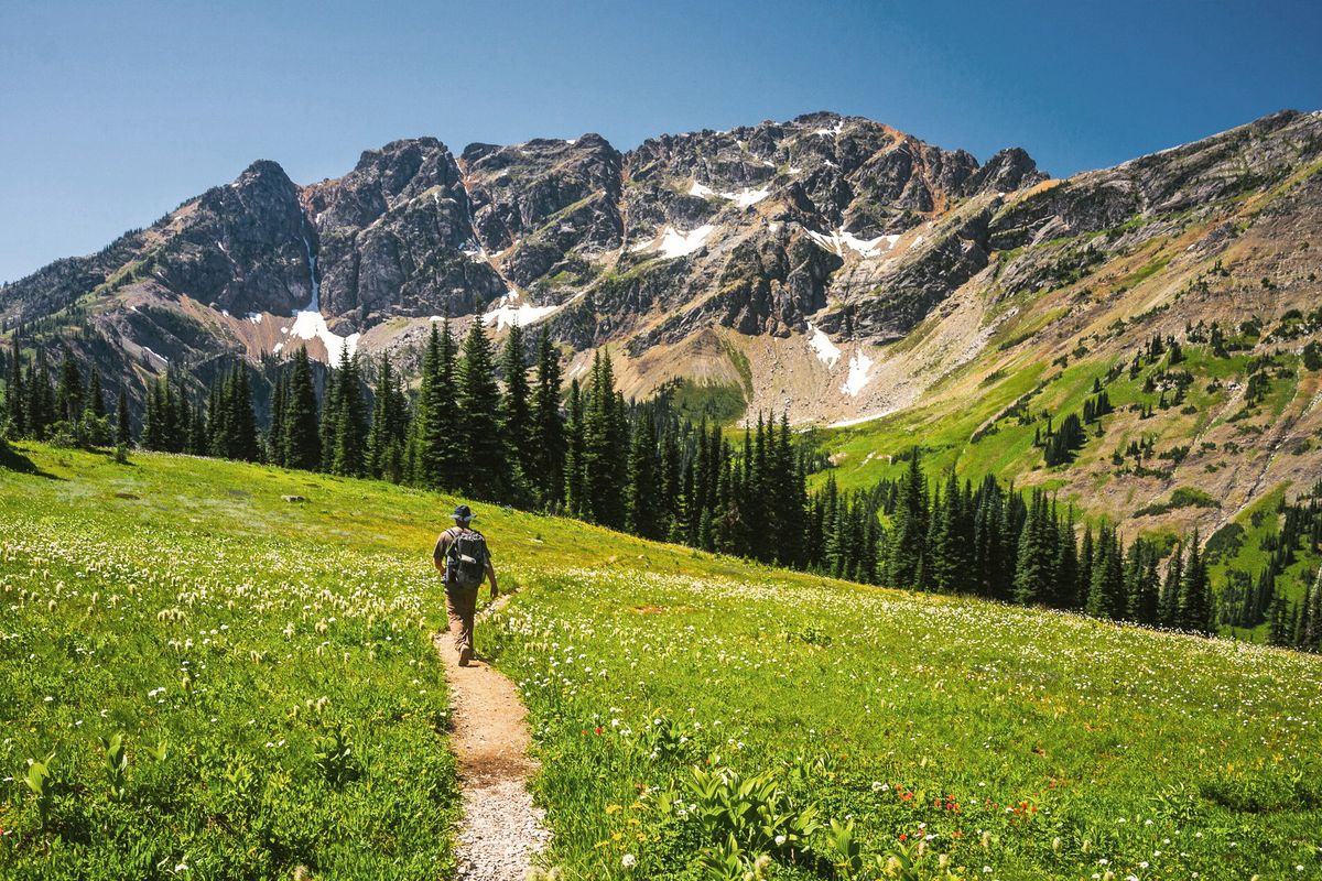
A hiker walks the Pacific Northwest Trail in the Pasayten Wilderness in Washington. (Courtesy of the Pacific Northwest Trail Association)
Federal officials have released the final version of a new plan for a 1,200-mile national scenic trail that crosses northern Washington, a document that sets guidelines for management and opens the door for improvements.
The U.S. Forest Service last month released a comprehensive plan for the Pacific Northwest Trail, a long-distance path that runs from Glacier National Park to the Pacific Ocean.
It doesn’t immediately make any major changes to how the trail is managed, but it lines out processes for potential reroutes and land acquisitions to ensure or improve access to the entire length of the trail.
“It puts the vision and the tools in place to connect the length of the trail,” said Tracy Calizon, assistant director for recreation and related resources for the Forest Service’s Pacific region.
The plan has been a long-time coming. It comes more than a decade after a statutory deadline and after a lawsuit resulted in a court order to finish it by the end of 2023.
Now that it’s complete, officials and trail advocates can begin work to improve the trail, by plotting reroutes or planning land acquisitions that ensure access remains intact.
“It took a very long time to get to this point,” said Jeff Kish, executive director of the Pacific Northwest Trail Association. “Now that it’s done, the exciting stuff gets to start to happen.”
The Pacific Northwest Trail is one of 11 national scenic trails, a list that includes the more well-known Appalachian and Pacific Crest trails. It was first dreamed up in the 1970s by a hiker named Ron Strickland, who wanted to chart a route from the Rockies to the sea.
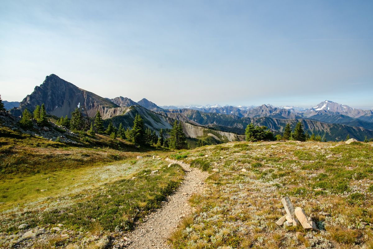
It begins on the east side of Glacier National Park, near the Montana-Alberta border, then crosses the park and the Idaho Panhandle and enters Washington just east of Metaline Falls.
From there, it continues through northern Washington, staying close to the Canadian Border other than a horseshoe turn around the town of Republic and an eventual diagonal run down to the Olympic Peninsula. Through-hikers finish the trek north of La Push.
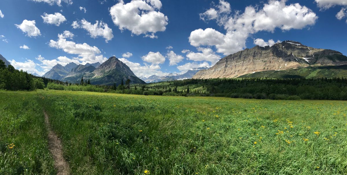
An end-to-end hike – also called a through-hike – takes people through three national parks and four national forests. Towns along the route offer hikers a chance to resupply.
In 1977, the first through-hikes were completed, according to the Pacific Northwest Trail Association, and more are done each year. Kish estimated that fewer than 100 people complete the through-hike each year.
Congress made it a national scenic trail in 2009. Federal law requires that a comprehensive plan be completed within two years of a trail’s designation. The Forest Service blew past that deadline, and the Yaak Valley Forest Council, an environmental group in Montana, sued over the delay in 2019.
The lawsuit resulted in a 2021 decision that set a Dec. 31, 2023, deadline for the Forest Service to finish a comprehensive plan – a deadline the Forest Service suggested in court filings after the council argued for a speedier timeline.
Officials and trail advocates had been working on the plan, and their work resulted in a nearly 300-page document, released publicly on Dec. 12.
The plan sets some baseline objectives for the trail, stating that the continuous route is meant for nonmotorized use and primarily long-distance backpacking and end-to-end through hiking.
Officials also analyzed the carrying capacity for 50 segments of the trail, and the plan denotes how urgently visitor capacity needs to be addressed on each segment.
Perhaps most significant, however, the plan creates a process for plotting reroutes.
No one involved in the trail at any level would say that it’s perfect. About 33% of the trail is on roadways, which officials and advocates say is counter to the experience scenic trails are supposed to provide. Other concerns have been raised with certain segments – in their lawsuit, the Yaak Valley Forest Council argued part of the trail could harm a small population of federally protected grizzly bears in northwest Montana.
The plan lays out a detailed “optimal location review” process through which the Forest Service will consider reroute proposals. The process includes a list of guiding principles for analyzing a change to the trail’s path.
It also indicates that while some small reroutes could be left to local officials, more substantial changes might require approval from Congress – which set the corridor for the trail when it designated it in 2009.
“The plan sets a vision for finding the optimal location for the trail and the trail user experience,” Calizon said.
Gaps in access are another issue along the trail. Rick Pringle, lands program manager for the Forest Service’s Pacific region, said there are several spots where the Forest Service or another agency doesn’t have clear access or management responsibilities.
It also crosses private land in places without a written guarantee that access will last into the future.
Pringle said the plan includes a land adjustment process that will guide the Forest Service or other agencies in efforts to either acquire land or lock in access through an easement.
“Without having those tools in place through the comprehensive plan, it’s difficult to move forward with addressing some of those issues,” Pringle said.
Either of those processes will take time, but Kish said there are places that his organization knows of that might need attention, and that some of that work will begin in 2024.
Kish hiked the trail in its entirety in 2014. He said it was an amazing experience, and it’s what inspired him to get more involved with the association, eventually becoming its director.
But it also showed him how much work needed to be done to fully realize the vision of the trail, such as getting it off roads and ensuring that it can be maintained.
Now, he said, they can start making progress.
“This is the plan that has been holding all of that up,” Kish said. “It’s approved now … It’s a really exciting time for the trail.”