Snow to give way to rain by end of week in Spokane

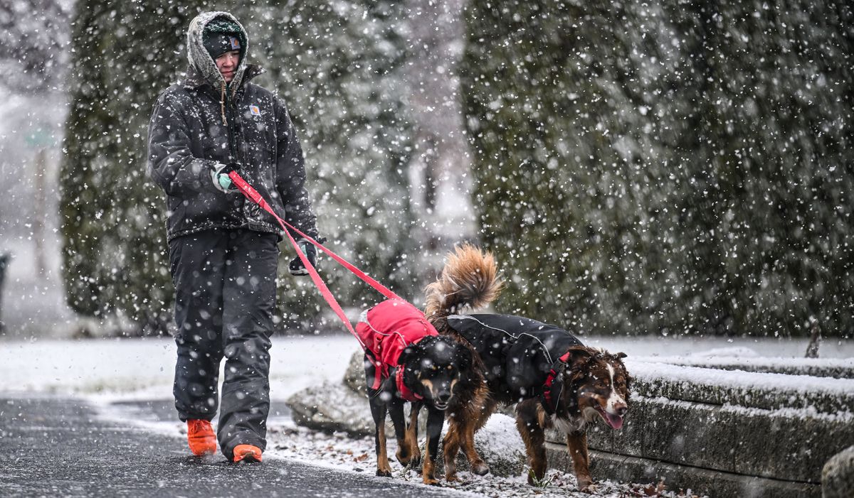
The light snow flurry greeting many Spokane residents Monday morning is expected to continue through the afternoon, with 1 to 2 inches by Tuesday projected by the National Weather Service.
Following freezing temperatures Monday night, the snow is expected to be replaced by rain in the Spokane area by late Tuesday and continue through the week, said Rachael Fewkes, weather service meteorologist. The high temperature for the week should be in the low to mid 40s .
North Idaho is slated for 2 to 3 inches of snow for the week, also tapering off into rain by Wednesday.
Freezing rains east of the Cascades from Tuesday to Wednesday may make for slick roads, Fewkes said. Those planning to cross Snoqualmie or Stevens passes can expect to encounter 8 to 10 inches of snow by Wednesday, with light snow for the rest of the week.
Lookout Pass in Idaho is projected to receive 6 to 8 inches of snow by Wednesday.
As of noon Monday, Sgt. Greg Riddell with Washington State Patrol said there had been 6 six vehicle collisions in Spokane and surrounding counties, including two vehicle rollovers. There had been no life threatening injuries reported.
State Route 206, leading to Mount Spokane State Park, was partially closed due to “impassible conditions,” after a park vehicle was hit .
Riddell said drivers should exercise extra caution driving on bridges and overpasses, and said that collisions can be avoided by increasing following distance, using proper tires and slowing down.