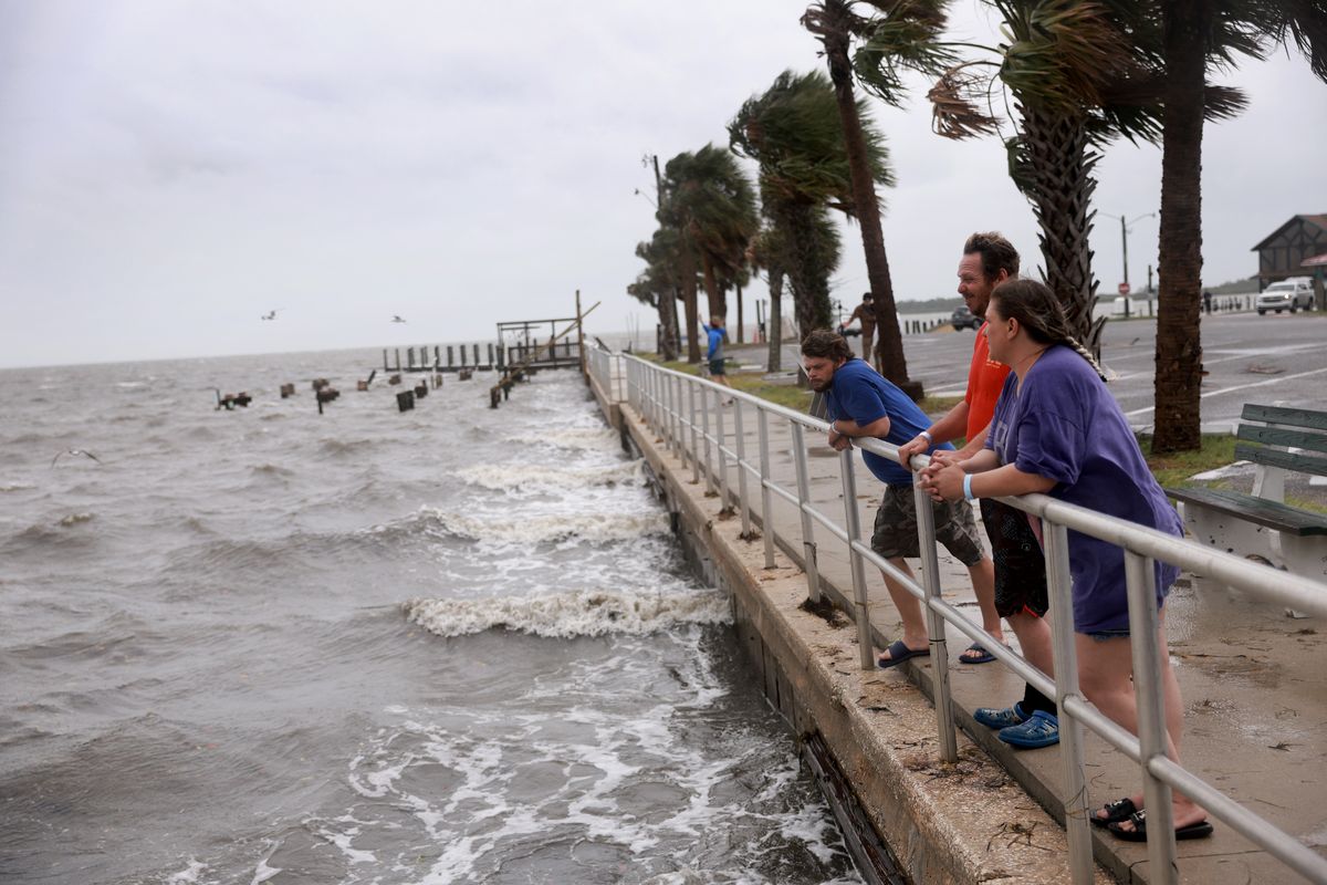
Tropical Storm Debby now expected to slam Florida as Category 1 hurricane

Tropical Storm Debby could become a hurricane as soon as Sunday evening as it powers through the warmer-than-average waters of the Gulf of Mexico, dragging storms and high winds along Florida’s west coast.
The flooding rain threat for South Florida appeared to be gone by Sunday morning, along with most watches and warnings, but the potential for life-threatening storm surge and intense rain with “considerable flooding” for the Big Bend region increased overnight. Tornado watches and warnings continued to pop up over Southwest Florida on Sunday.
The National Hurricane Center said Debby is likely to make landfall in the Big Bend area as a high-end Category 1 hurricane on Monday morning, bringing 90 mph sustained winds, gusts up to 115 mph and a foot of rain.
Overnight, the messy tropical storm appeared to get its act together, picking up speed and forming a more defined center swirl. Now, forecasters said, it has a path ahead of it lined with very warm water and low wind shear – great conditions for storms to get stronger.
“Significant strengthening is likely through tonight, especially if the cyclone forms a well-defined inner core,” forecasters wrote in the 11 a.m. discussion.
A stronger Debby would up the risk of intense storm surge and high winds. The Tampa Bay area could see up to 5 feet of storm surge, which is how high the water could get above land, and the Big Bend area could see up to 10 feet.
The region, which was smacked by Category 3 Hurricane Idalia last August, remains under a hurricane warning and a storm surge warning.
Once Debby moves inland, it is expected to slow to a crawl and dump “historic” levels of rain on the southeast coast – up to 30 inches over Savannah, Georgia, in the next five days.
As of the 11 a.m. advisory, Debby was about 130 miles west-southwest of Tampa with maximum sustained winds of 65 mph. It was traveling north-northwest at 13 mph, a slight slowdown from the day before.