Smart Buoys Aim to Reduce Whale Roadkill
THE PACIFIC OCEAN NEAR SAN FRANCISCO – Fran washed ashore in August, some 25 miles south of the Golden Gate Bridge. The beloved and much-photographed female humpback whale had a broken neck, most likely the result of being hit by a ship.
This latest instance of oceanic roadkill increased the tally of whales killed by ships near San Francisco this year to four. The true death toll is probably much higher as whale carcasses often sink to the sea floor.
Scientists and conservationists are trying to drive that number to zero. Last week, Whale Safe, an artificial intelligence-powered detection system, began operating around San Francisco Bay. Its goal is to warn large ships in the area’s waters when whales are nearby.
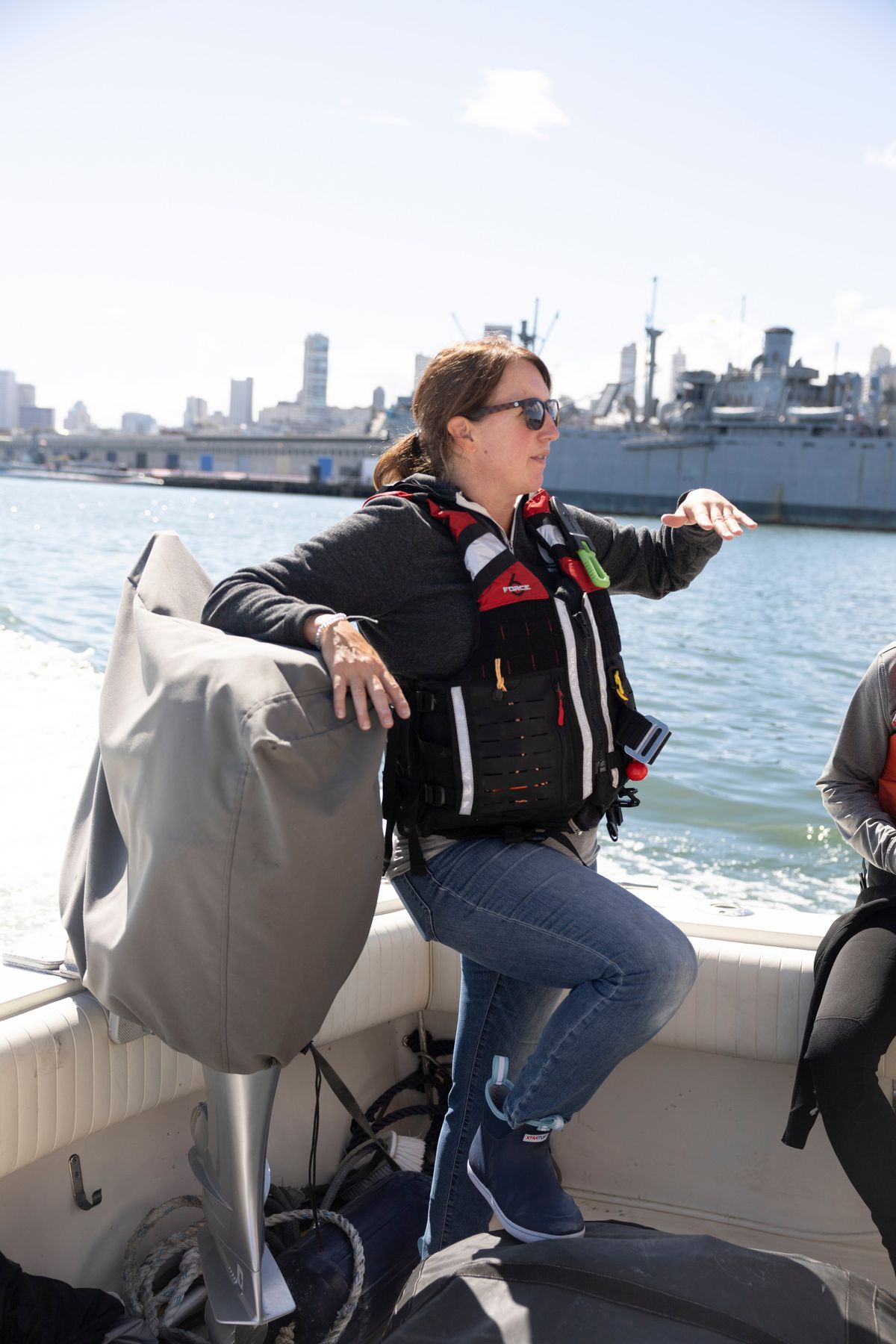
About 25 miles out to sea from the Golden Gate, a yellow buoy bobbed near the great white shark hunting grounds of the Farallon Islands. On a boat close by called the Nova, Douglas McCauley, director of the Benioff Ocean Initiative at the University of California, Santa Barbara, donned a wet suit and snorkel and jumped into the brine to give the buoy some TLC before its big day. The buoy, tethered to an underwater microphone, is an integral part of Whale Safe.
Researchers estimate more than 80 endangered blue, humpback and fin whales are killed by ships each year along the West Coast. With increasing global marine traffic, the problems created by thousands of massive ships crisscrossing waters that teem with ocean giants are expected to worsen. Near San Francisco in particular, climate change has been shifting the whales’ food closer to shore, placing the whales in harm’s way more often, according to Kathi George, field operations manager for the Marine Mammal Center in Sausalito, California.
That’s why McCauley and a network of collaborators developed Whale Safe with funding from Marc Benioff, founder of Salesforce, and his wife, Lynne. Whale Safe, which has been operating in the Santa Barbara Channel since 2020, provides near-real-time data on the presence of whales and sends out alerts to mariners, shipping companies and anyone else who signs up.
The hope is that if ship captains get an alert notifying them of whales in the area, they might be more likely to shift course or slow their approach to port – a tactic that research suggests makes deadly collisions less likely.
“The near-real-time aspect of Whale Safe’s alerts and being able to have an idea of where whales are 24 hours a day is really unique and gives us a lot more information to share with ships coming in and out of the bay,” said Maria Brown, superintendent of the Cordell Bank and Greater Farallones national marine sanctuaries for the National Oceanic and Atmospheric Administration.
Expanding Whale Safe from the Southern California shipping lanes to San Francisco will cover the two busiest hubs in California and two epicenters of whale mortality from ship strikes.
In 2021, the first full year of Whale Safe’s operation in the Santa Barbara Channel, there were no recorded whale-ship interactions in the area, which McCauley called an encouraging sign.
Whale Safe also uses publicly available location data transmitted by ships to determine whether they slow to 10 knots during trips through the whales’ feeding grounds, something NOAA has been asking large ships to do during whale season (usually May to November off California) since 2014. Whale Safe processes the information on vessel speed and assigns shipping companies a letter grade.
Maersk, one of the world’s largest shipping companies, earned a B for slowing down 79% of the time in the Santa Barbara Channel. But ships operated by Matson, a major player in Pacific shipping, slowed 16% of the time, awarding the company an F.
A spokesperson for Matson said the company had long instructed its ships to participate in NOAA’s voluntary speed reduction programs “to the greatest extent possible, given our operational requirements. A large percentage of our vessels have been averaging less than 12 knots.”
At the buoy last week, McCauley used a kitchen scrubber and a plastic putty knife to scrape away algae and checked that various instruments were intact. The device’s underwater microphone was positioned some 280 feet beneath his flippers, attached with a beefy rubber-clad cable, listening for whales from the sea bottom. This high-tech buoy was developed by Mark Baumgartner of the Woods Hole Oceanographic Institution in Massachusetts, and his team is using the same technology to listen for critically endangered North Atlantic right whales along the East Coast.
Whale Safe uses three data streams: the buoy listens for and identifies the songs of blue, fin and humpback whales with an algorithm and beams its findings to a satellite; a mathematical model informed by present and past oceanographic and biological data predicts where blue whales are most likely to be; and citizen scientists and trained observers report whale sightings via an app called Whale Alert.
Whale Safe’s platform integrates these data sources and alerts ships to their likelihood of encountering whales that day.
In 2019, before the system’s Santa Barbara launch, 46% of vessels slowed down in the Southern California voluntary speed reduction zones. In 2022, the percentage has risen to 60%. But that increase can also be credited to a financial incentive program called Protecting Blue Whales and Blue Skies, which pays shipping companies that slow for whales, as well as more than a decade of outreach from NOAA officials like Brown to shipping companies.
Whale Safe’s team is also working with Hyundai Heavy Industries, the world’s largest shipbuilder, to bring the system’s data directly into the navigation systems of newly built ships, said Callie Steffen, a scientist at the Benioff Ocean Initiative and Whale Safe’s project leader.
Now that the system is switched on in two locations, McCauley said the immediate goal was to continue outreach with companies and try to reduce whale fatalities from ship strikes to zero in the places where Whale Safe is operating. Steffen and others aim to expand Whale Safe’s ship speed monitoring to all areas of designated whale concern in the United States and Canada on both coasts.
(STORY CAN END HERE. OPTIONAL MATERIAL FOLLOWS.)
Last week, fog erased the horizon as the Nova motored away from the buoy. When the fog broke, the sea ahead of the boat erupted with whale spouts and leaping sea lions. The boat cut its engines, and McCauley whipped out a camera with a long lens to try to identify some of the nine humpbacks researchers spotted.
The air took on the fishy, primordial odor of whale breath as everyone on board marveled at the wildness on display. Then the radio crackled: Vessel Traffic Service, which manages ship movement in and out of the bay, said the Nova needed to exit the shipping lane because a large vessel was coming through. The scientists radioed back that the big ship needed to be warned it was headed into an area where whales had been sighted.
While the Nova headed back to San Francisco, McCauley said that as he was composing his photographs of the feeding humpback whales, he couldn’t help but think of the recently deceased Fran.
“That should have been her,” he said, with a slight catch in his voice.