This column reflects the opinion of the writer. Learn about the differences between a news story and an opinion column.
Weathercatch: Finally, the crazy-cold spring weather is on pause
To say the Inland Northwest deserves the warm, dry and tranquil weather that arrived the middle of this week is an understatement.
With the start of meteorological summer less than a week away, it’s been one of the coldest springs recorded in many parts of the region. While Spokane experienced its seventh-coldest April, other locations, including Wenatchee and Ritzville, saw their coldest April on record. And this month? May 2022 is on track to earn a spot on the top-10 list of coldest Mays. So cold, in fact, that several Alaska communities were warmer than Spokane last week, according to a tweet by the National Weather Service Spokane.
And that’s just the chilly weather. Two tornadoes touched down in the Spokane area on May 6, downing power lines and trees, and flipping two trailers at a mobile home park.
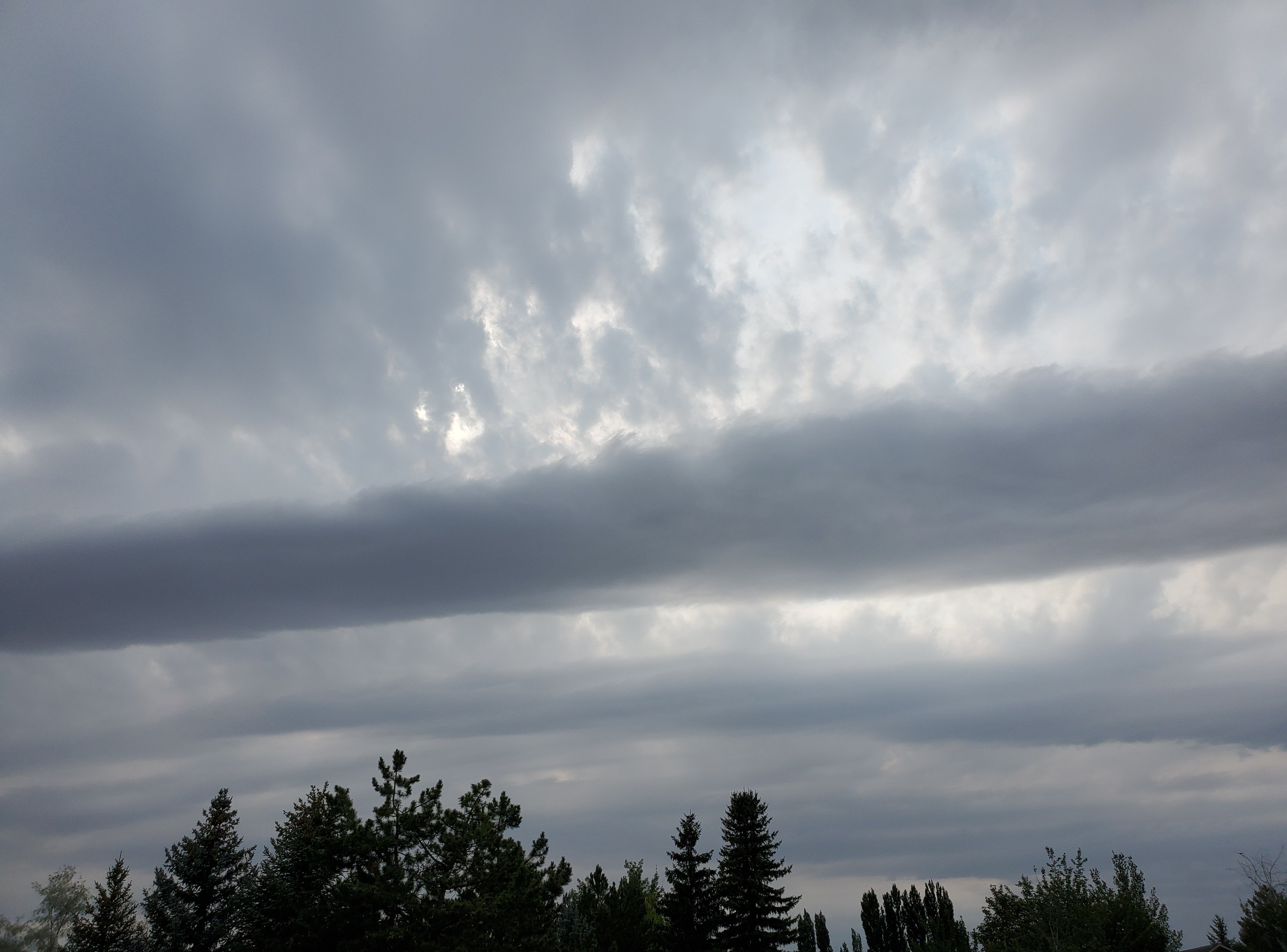
More winds came on May 18 after a strong cold front swooped down from British Columbia. Although we saw some rainfall, the wind was a bigger issue. Sustained winds peaked at 40 mph in Spokane that evening, with gusts reaching 51 mph. The next two mornings – Thursday and Friday of last week – the low temperature dipped to 36 degrees at Spokane International Airport, compared to the average low of 45 for those dates of May 19 and 20. Areas of frost were reported at Deer Park, Davenport, Coeur d’Alene and several towns on the Palouse, where temperatures ran at 32 degrees and colder.
It was a relief to awaken to warmer weather on Saturday morning. Before long, however, scattered showers, hail and isolated thunderstorms began rolling across Washington and North Idaho. In an unusual occurrence, thunder and lightning were reported on both sides of the Cascades, extending as far west as Seattle.
Late last week in Denver and Albuquerque, New Mexico, summerlike weather abruptly gave way to a blast of cold. Not only has our region seen no summertime temperatures this May, but oftentimes it has barely felt like spring.
Until this week. Temperatures began inching upward on Monday, and Thursday is likely to be the warmest day so far this year across the Inland Northwest.
Unfortunately, conditions may be short-lived. The National Weather Service’s Climate Prediction Center is favoring cool, wet weather from Sunday to June 4 for much of the Pacific Northwest. Beyond then, the agency’s outlook is leaning toward warm, dry conditions through most of summer.