Power restored overnight after windstorm blows through Spokane

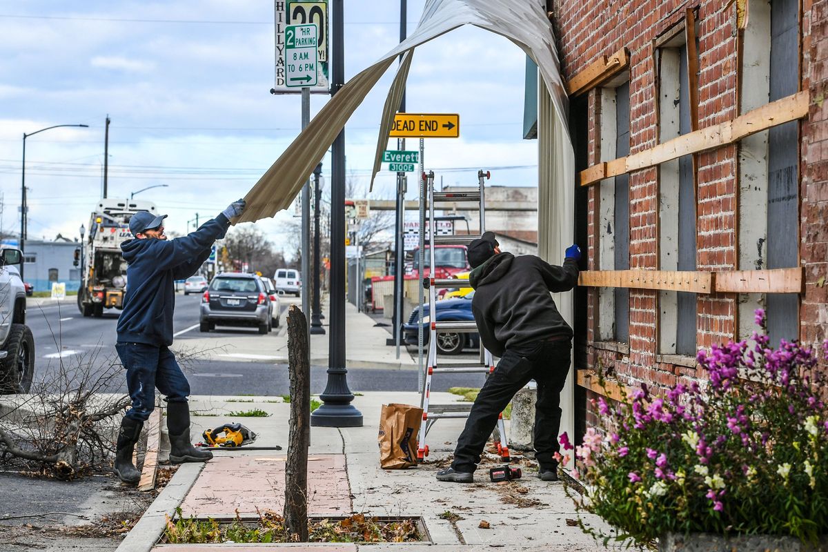
The Inland Northwest quickly recovered from Monday’s windstorm that knocked power out to more than 45,000 electricity customers.
Power was restored by dawn Tuesday to most customers who lost it Monday evening as 60 mph gusts blew into Spokane.
The peak gust in Spokane was 62 mph at about 4:30 p.m. Winds died down with gusts from 30 to 40 mph overnight, said Laurie Nisbet, meteorologist at the National Weather Service in Spokane.
Other areas in the region experienced higher peak gusts, Nisbet said. A gust of 72 mph was recorded by a citizen’s sensor in Athol, Idaho, Nisbet said. In the mountains near Lake Wenatchee, a gust of 82 mph was recorded, she added.
Winds significantly quieted Tuesday morning with sustained winds at about 14 mph and little to no gusts, Nisbet said.
As of 7 a.m. Avista was reporting power outages affecting about 2,600 customers down from around 34,000 customers in its Eastern Washington and North Idaho service territory Monday evening. About 800 were left without power as of 1 p.m. Tuesday.
Inland Power and Light reported more than 6,000 without power Monday evening, but power had been restored to a majority of those homes by Tuesday morning.
About 500 customers remained without power. Kootenai Electric Cooperative had about 1,000 members without electricity Tuesday morning.

Northern Lights Inc., which serves a largely rural area in North Idaho, however, was reporting more outages Tuesday morning than Monday evening with 139 outages affecting nearly 7,000 customers.
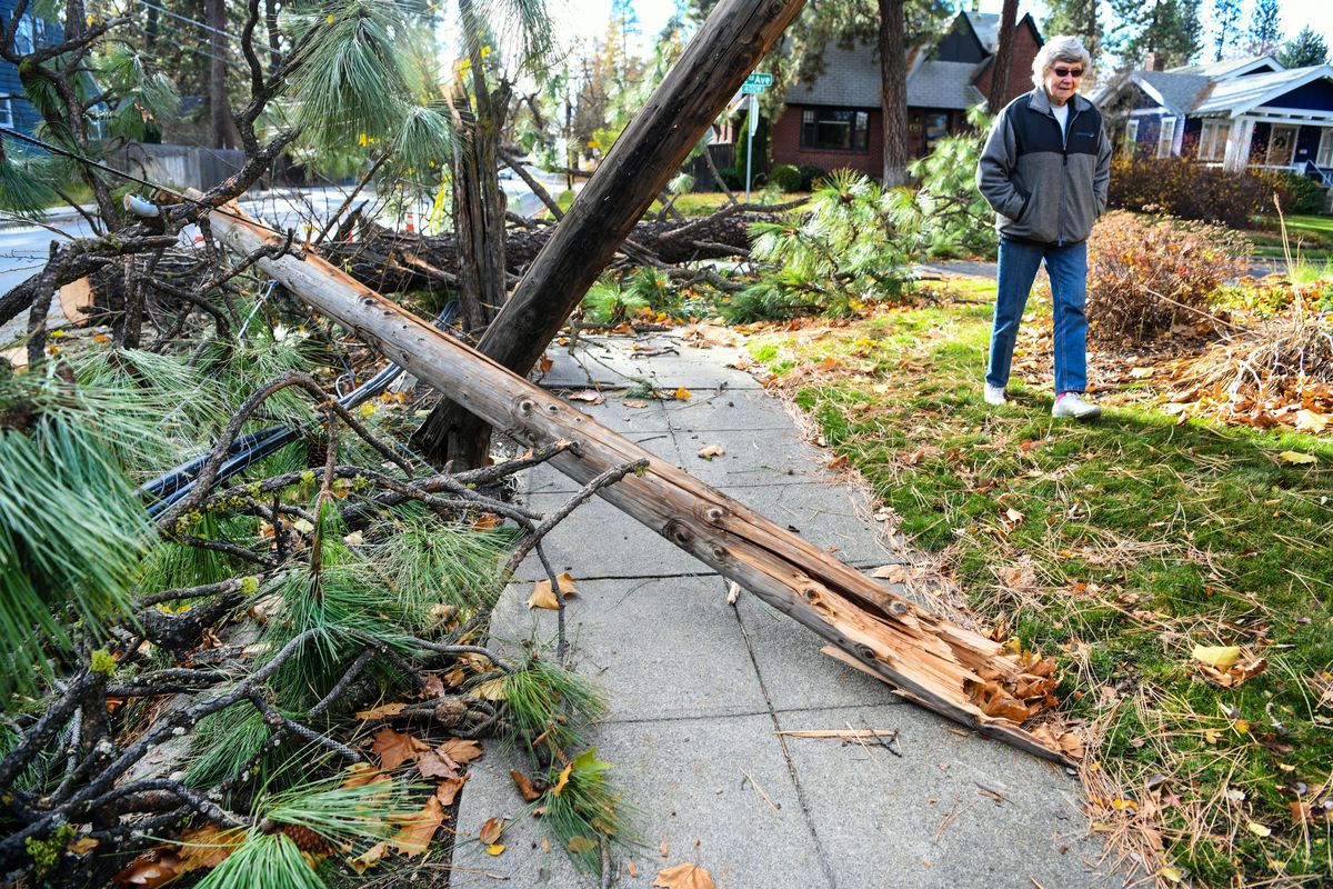
There were about 30 reports of downed trees or branches in the right of way in the city of Spokane on Monday night, said Marlene Feist, public works director.
That number didn’t rise Tuesday morning, Feist said, and teams were able to keep all major arterials open.
“We’re not seeing the uprooted trees at all,” Feist said, a stark difference from the January windstorm that left dozens of uprooted trees in parks and blocking streets.
The city switched to its winter shift schedule over the weekend, and has 20-hour-a-day coverage, Feist said. The winds dropped off before crews got off shift, allowing them to deal with hazards quickly, she said.
A dry air front moved in after the windstorm, leading to a drop in temperature. Tuesday night was expected to be the coldest this fall, Nisbet said.
Lows in Spokane are forecast to be around 22 degrees, but outlying areas like Deer Park could drop into the teens.
The cold temperatures were accompanied by snow showers Tuesday afternoon.
Todd Carter, meteorologist at the NWS in Spokane, said a “cold-core low” followed the strong cold front that swept through the area. The colder, more unstable air mass helped generate the snowfall, he said.
Reports of graupel, or “pellet-type snow” as Carter described it, also came in on Tuesday.
The rest of the week likely will be mostly sunny with light winds and high temperatures in the low 40s, Nisbet said. There’s a slight chance of rain or snow Thursday. With the precipitation toward the end of the week, there could be some fog, Nisbet said.