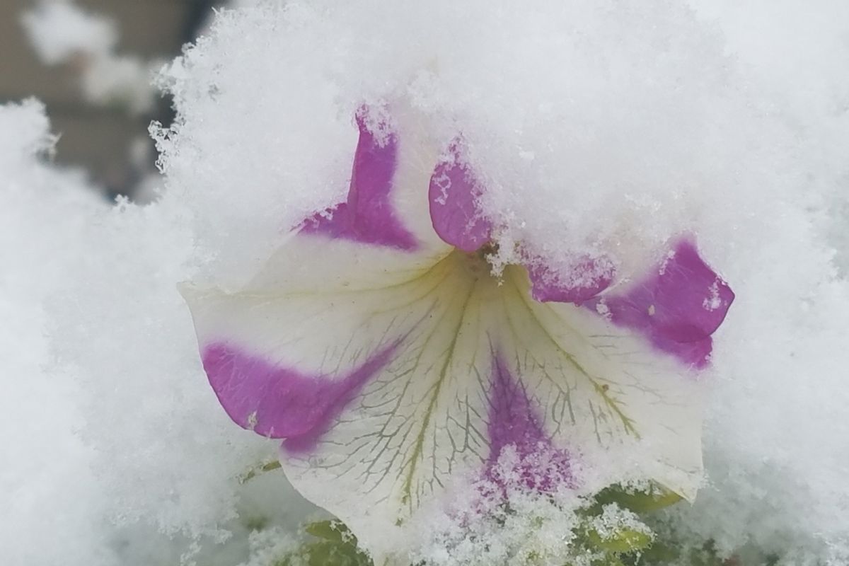
Weathercatch: Will first snow of the season arrive on schedule?

Whether we love winter or loathe it, many of us wonder when the season’s first snow will fall in the Spokane area. After all, we’re nudging toward winter and the median deadline for getting our first snow is only four days away.
Measurable snowfall is defined as accumulation of 0.1 of an inch or more – in other words, more than a trace that coats the ground in white. If relying on history, it typically it arrives in Spokane by Nov. 15.
Other cities statistically on target to receive the season’s first snow by Nov. 15 include Milwaukee, Pittsburgh and Albany, New York. If mid-November is too early for your liking, consider that in Alaska, the average date is Sept. 27 in Fairbanks and Oct. 15 in Anchorage. In Billings, it’s Oct. 12. Later season first-snows typically occur by Dec. 8 in Lewiston-Clarkston, Dec. 26 in Seattle and Dec. 18 in Washington, D.C.
Plenty of snow fell along the Cascade Range in Washington last weekend when a cold, unstable weather system moved through the Pacific Northwest. Meanwhile, lower elevations got rain. Another unsettled system came through on Tuesday of this week, dumping more snow in the Cascades and a mix of rain and snow to parts of Eastern Washington and North Idaho.
Sometimes the season’s first snowfall amount in November is meager, other times it’s hefty. Occasionally, it’s irrelevant because the first snow arrived the month before. For example, last year, 3.6 inches fell in Spokane on Nov. 13. However, it was surpassed by a record-breaking 6.9 inches that fell on Oct. 23, followed by another 0.6 of an inch on Oct. 24.
Here’s a look at some early-to-mid November snowfalls in Spokane:
2018 – 1.1 inches fell on Nov. 9.
2017 – Almost 7 inches of snow fell between Nov. 3-5.
2016 – A total of 0.7 of an inch fell on Nov. 16.
2003 – This one was a biggie – a snow dump of 8.2 inches on Nov. 20.
2000 – 4.4 inches fell on Nov. 8, followed by another 1.5 inches on Nov 9.
1992 – More than 3 inches and plenty of winds on Nov. 11.
1973 – Call it Snowvember – 9 inches of snow came down on Nov. 4. The next morning, Spokane International Airport reported a full 9-inch depth on the ground. It was the greatest daily snowfall amount recorded for November.
It’s highly unlikely we’ll experience another Snowvember before next Monday – or any notable snowfall amount for that matter. The weather pattern is expected to be periodically unsettled, with seasonably cold air and intervals of precipitation. However, with low temperatures in the mid-30s or warmer, precipitation will probably fall as rain in our area.
A few errant snowflakes may fly somewhere in the Inland Northwest, but a blast of colder air is needed to produce that special first layer of snow.