Dust storm rolls into Spokane area with gusts up to 46 mph

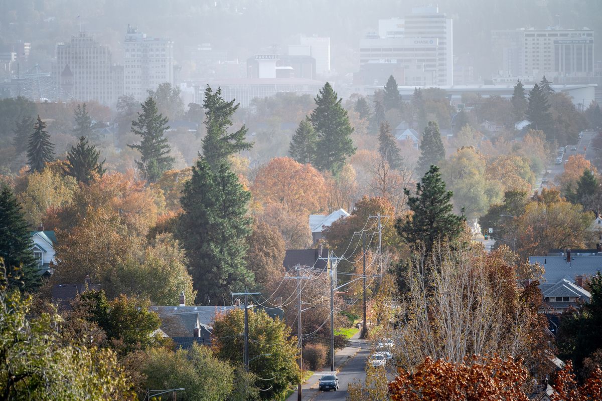
Eerie skies abruptly covered much of the Spokane area Friday afternoon as the National Weather Service issued an advisory for a dust and ash storm expected to cause “hazardous driving conditions.”
As winds gusted up to 46 mph near the Spokane International Airport, they kicked up dust from farms and colored the horizon beige.
The advisory was expected to last until 6 p.m. and was issued specifically for Moses Lake and the Upper Columbia Basin, but the dust could be seen well into the Spokane area.

The dust storm was expected to reduce visibility to a quarter-mile or a mile, the weather service said.
The Washington State Department of Transportation recommended drivers turn on their headlights for extra visibility, on top of slowing down to reduce crashes. Drivers also should keep more distance from other vehicles, the department said.
The weather service also offered the tip, “Pull Aside, Stay Alive” in the event of dust storms.
While the winds weren’t strong enough to merit an advisory in the Spokane area, they managed to topple at least two trees, bringing power outages.
About 25 households lost power in Manito from a tree landing on a wire, while another 16 lost power from the same cause in Bemiss, according to Avista Utilities.
Meanwhile, the Spokane Regional Clean Air Agency recorded air quality as moderate, though it neared “unhealthy for some groups.”
At this level, people who are unusually sensitive to ozone may experience respiratory symptoms.
Jeffrey Cote, a meteorologist with the National Weather Service in Spokane, said winds were expected to be strongest before about 5 p.m. and then would start decreasing to 4 to 5 mph overnight.
Moving into next week, winds will be light. But cold will come by next weekend, as meteorologists predict lows in the upper teens and 20s.