Out like a lion: May ending with hot, stormy weekend – and without pools, splash pads

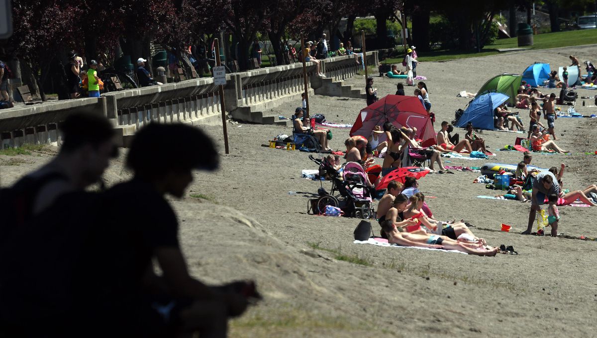
Break out that bathing suit and batten down the hatches, because Saturday’s weather will be wild.
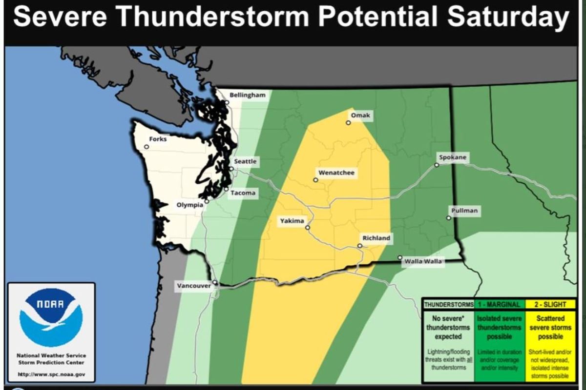
The National Weather Service is forecasting near-record high temperatures in Spokane on Saturday, followed by the threat of severe thunderstorms in Central and Eastern Washington late Saturday afternoon and into the evening.
The high temperature in Spokane is projected to reach 91 degrees on Saturday, just short of the the record 95 set in 1986 at Spokane International Airport.
And it will be sticky, according to meteorologist Ronald Miller.

“The humidity is definitely the most unusual part,” Miller said. “We’ve been in the 90s before in May and we’ve had thunderstorms, but the humidity will be higher than what we’re used to.”
But between 4 and 9 p.m., there is a marginal risk of severe thunderstorms in the Spokane area and a slightly higher risk in Central Washington.
“If you do have outdoor plans (on Saturday), it is advised that you keep an eye to the sky and have a way to receive alerts,” said Steve Bodnar, a forecaster with the National Weather Service’s Spokane office, in a briefing on Friday.
Unfortunately for the sweaty, public pools including splash pads are closed under Gov. Jay Inslee’s Safe Start Washington reopening plan. They will be allowed to open, with limited capacity, in Phase 3. Spokane County is currently in Phase 2.
The severe, isolated storms likely will bring wind gusts between 40 and 55 mph – and possibly as high as 70 mph.
Hail between 1 and 1 1/2 inches in diameter – about the size of pennies and pingpong balls – could fall, according to Bodnar.
To illustrate the dramatic swing in weather this weekend, Miller noted that temperatures will plummet Sunday, with highs expected to reach only about 62 in Spokane. That’s barely above the overnight low on Friday, which was estimated to be about 61.
Sunday will continue to be breezy, but rain will taper off by the morning.