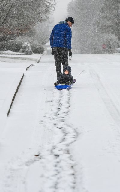
Spokane in for several more inches of snow starting Saturday night

Friday’s snow offered a taste of the week ahead.
Friday brought about 2 inches of new snow to Spokane, said Joey Clevenger, Spokane meteorologist with the National Weather Service.
The snow was starting to taper off by 5 p.m., and Clevenger said less snow was expected through the evening.
Late night Saturday and overnight, Spokane could get 1 to 3 inches of snow, Clevenger said.
“We’re getting a little one-day break Saturday,” Clevenger said.
Climate outlooks for next week show a good chance of above-normal temperatures for this time of year and above-normal precipitation, Clevenger said.
Sunday and Monday, Spokane should see mostly snow with some possible rain. Through the week, warm, moist air will move in, bringing temperatures close to 40 for highs, he said.
Tuesday will still have some lingering snow showers but temperatures are going to be on the incline, Clevenger said. Later in the week should be mostly rain or a rain and snow mix.
Spokane will likely get more snow and lower temperatures than average this winter, according to the National Oceanic and Atmospheric Administration in its winter outlook for the United States.
While most of the U.S. gets a relatively warm winter, just a few states – mainly Washington, Idaho, Montana, the Dakotas – will likely be cooler.
That prediction is based on the likelihood of La Niña, a climate phenomenon that is the colder counterpart of El Niño. Since 1950, meteorologists have recorded 22 La Niña years, and for Spokane those bring colder temperatures and an average of about 10 more inches of snow.