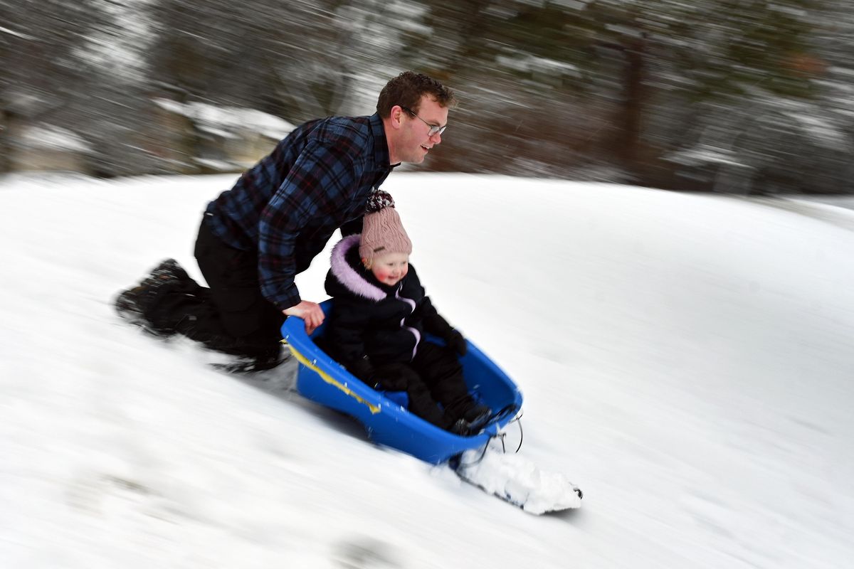
After overnight snow, temperatures expected to warm up Tuesday

Tuesday morning commuters faced a snowy New Year’s Eve.
Officially, Spokane saw about an inch of snow as of 4 a.m., but National Weather Service meteorologist Robin Fox estimated 3 to 4 inches had blanketed the Spokane area by 7:30 a.m.
“We’re going to be seeing the snow winding down this morning,” Fox said.
Temperatures warmed up throughout the morning as wet snowfall turned to rain. Four inches of snow were on the ground at the airport at 10 a.m., according to NWS data.

It’s expected to stay warm throughout the night, keeping the roads from freezing. Rain is likely throughout the afternoon and evening until 10.
“Overnight, we are expecting temperatures to remain in the mid-30s, so above freezing may be more of a sloppy mess on the roads,” Fox said.
Weather should stay mild over the next couple of days, Fox said.
“We’re going to be flirting with that freezing mark,” Fox said.
More snow is expected Thursday, but with temperatures near freezing, that could also result in a bit of rain that turns to snow overnight, Fox said.
The mountains saw a bit more snow than the Spokane metro area. Before Tuesday’s snow, most ski mountains had 40-50% of normal snowfall for this time of the year.
As of Tuesday afternoon, Mount Spokane received 11 inches of snow during the last 24 hours and Schweitzer had 7 inches of new snow. Silver Mountain had 3 inches of new snow and 49 Degrees North received more than a foot. Lookout Pass had 4 inches of new snow at its summit.
Lookout Pass was projected to see 6 to 10 inches of snow overnight Tuesday with another 3 to 7 inches on New Year’s Day. Schweitzer was forecast to see 7 to 11 inches of snow overnight and less than an inch during the day. Mt. Spokane was projected to get 1 to 3 inches of new snow overnight.