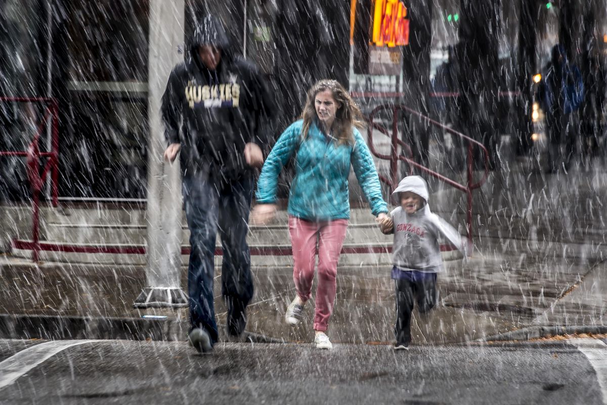
Snow falls around Inland Northwest as National Weather Service loses radar service

Inland Northwest residents watching flakes fall in their backyards should send that information to the National Weather Service.
The meteorology agency based near the Spokane International Airport reported a radar outage Friday afternoon as snow began falling around the region. The service put out a call on social media for people to share photos, videos and details on what they were seeing.
“We’re working on it right now,” said Andy Brown, a meteorologist with the weather service, shortly after 2 p.m. “We’re hoping to have it up within the next hour.”
Measurable snow has fallen throughout the region, with the heaviest amounts recorded in the northern reaches of Boundary, Pend Oreille, Ferry and Stevens counties, according to the weather service. Nearly 14 inches of snow was reported in the mountains northwest of Kettle Falls, according to the weather service.
Snow should taper in the Spokane area throughout the afternoon Friday, with the best chances of accumulation in the city coming Sunday, Brown said.
“We’re looking at a much bigger event, with possibly an inch to 2 inches,” Brown said. “There’s still some uncertainty with how much of an impact that’s going to be.”
Snow showers should begin late Saturday night and linger throughout the day Sunday, Brown said.
Though the snow may cause a furor among some pining for a few more weeks of fall, early November snowfall isn’t that unusual for the region, Brown said. Typically, the first inch of measurable snow falls around mid-November.
“This is a little bit early, but it’s not unprecedented by any means,” Brown said.