Loop trail to link Peaceful Valley to Centennial Trail
A South Gorge Trail through Peaceful Valley would create a 5-kilometer loop between Riverfront Park and the Sandifur Bridge and back on the North Bank.
Trail users would cross the Sandifur Bridge in People’s Park and climb the bank to hook up with the Centennial Trail on the return leg.
The south bank trail has been a dream of city leaders for at least 30 years, and now is close to becoming reality.
Construction is slated for 2018.
The plan calls for building a separated 10-foot mixed-use trail on city-owned land along some of the stretches and linking those sections with widened sidewalks in other places where a separated trail is not possible.
“That will be a wonderful thing for nonprofit walks and rides,” said Loreen McFaul, executive director of the Friends of the Centennial Trail.
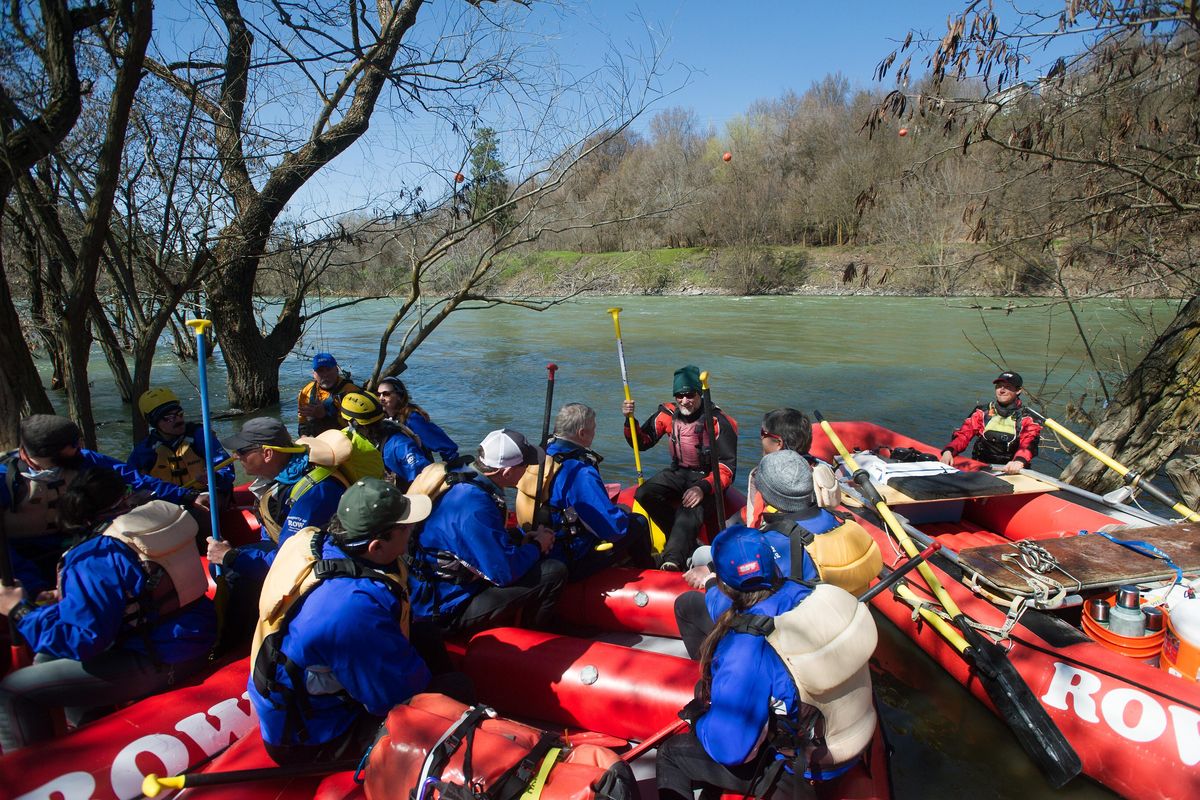
The 5-kilometer distance (3.5 miles) is perfect for shorter events, she said.
The friends organization has pledged $5,000 toward the South Gorge Trail development.
The Spokane Conservation District is expected to provide $30,000 to hire a consultant to plan for a new kayak and raft put-in at Glover Field.
Spokane city officials said they are still trying to secure all of the funding for the South Gorge Trail, which is estimated to cost $5 million.
The project includes improved parking at Glover Field for a trailhead and a new water main on part of Clarke Avenue where a sidewalk trail would be installed.
Spokane owns a series of properties along the river between the Spokane Falls and Sandifur Bridge, including Glover Field, Peaceful Valley Park, People’s Park and Clarke Avenue pump station.
Neighbors to the trail and Spokane River Forum were involved in planning.
The city’s desire to acquire south bank land dates back to a Spokane River Development Plan in 1974.
Over the years, the acquisitions have come under criticism because the properties are held as open space and can become weedy during the summer.
The trail plan calls for developing new picnic spots on some of the city land.
Marlene Feist, city spokeswoman, said the leg of the trail between Riverfront Park and Glover Field has not been designed yet.
She said it could go from a new plaza over a 2.2 million-gallon wastewater storage tank under construction next to the Downtown Library.
From there, it might descend under the Monroe Street Bridge and skirt behind the Spokane Club athletic facility above the river before linking up with West Main on the hill into Peaceful Valley.
Walt Edelen, water resources program manager for the conservation district, said the water access ramp at Glover Park would include riverbank restoration.
The conservation district has participated in two other restoration and river access projects at State Line and an area called the islands just below Arbor Crest Wine Cellars.
The islands project included erosion control measures and a slide-rail system for launching small water craft, Edelen said.
There appears to be plenty of demand for trail use in Spokane. An infrared counter at Kendall Yards registered 219,000 pedestrian trail users and 111,000 bicyclists in a year and a half after its installation.
Another Eco-Counter on the Ben Burr Trail at the Altamont Street foot bridge showed 43,000 pedestrians and nearly 6,000 cyclists in the same time frame from August 2015 to early April this year.