2015 windstorm whipped up by rare convergence of events
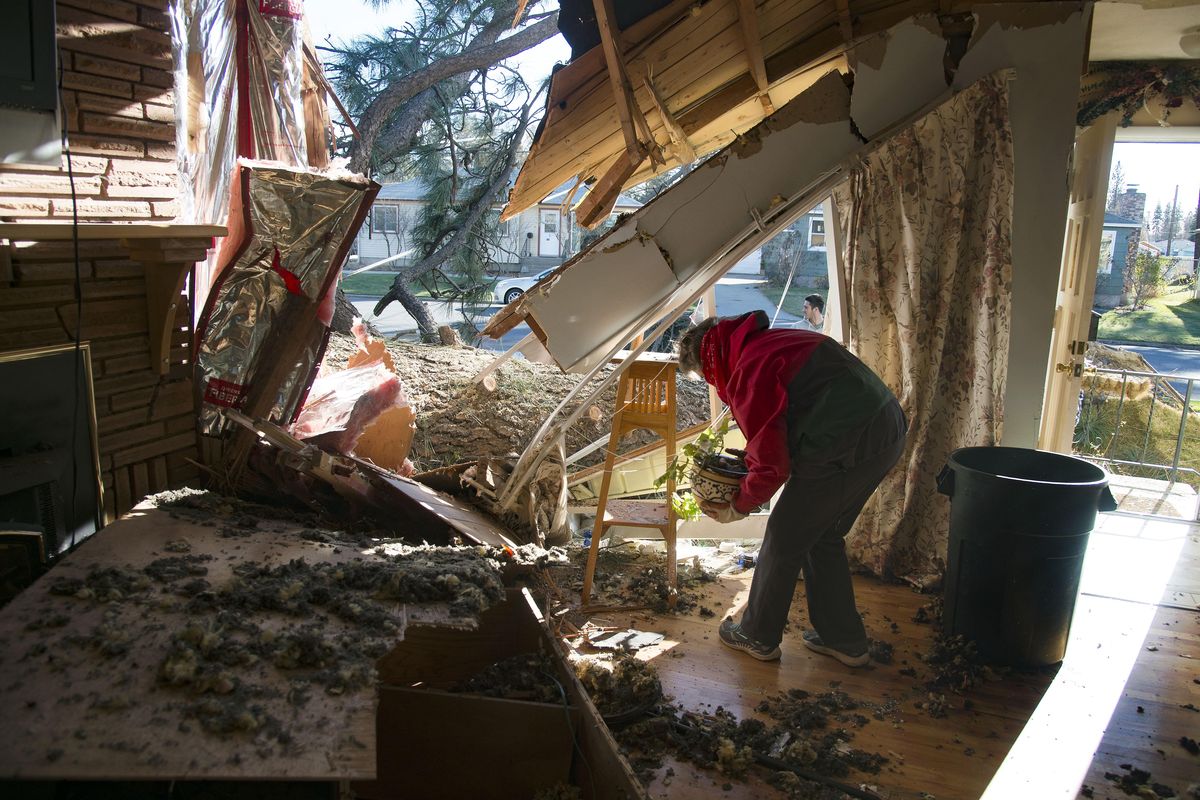
In this Nov. 2015 file photo, a homeowner, who did not want to be identified, salvaged a house plant in her northside Spokane living room that was damaged by a large pine tree following last year’s devastating windstorm. (Colin Mulvany / The Spokesman-Review)Buy a print of this photo
In the months after the Nov. 17, 2015 windstorm tore through the Inland Northwest, staff at the National Weather Service closely examined the forces unleashed that day and asked this question:
How often is such a powerful storm likely to happen here?
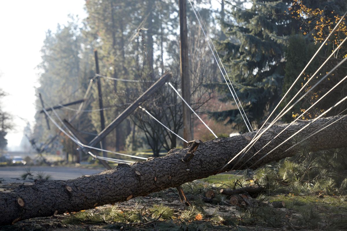
Peak wind gusts of 71 mph toppled trees, ripped down power lines and plunged most homes into darkness.
The storm ranked with the worst in modern memory, including firestorm in 1991, ice storm in 1996 and “snowmageddon” in 2008.
The forecast staff came up with this conclusion: The region can expect to see a storm approaching the intensity of last November on the average of once every 20 to 30 years.
But the fact that Spokane saw wind gusts to 71 mph – just below hurricane speed of 75 – turned the event into a singular episode.
It was the highest wind recorded in Spokane from a large Pacific cyclone, the type of storm that prevails from early autumn through early spring.
“It was a rare event,” said Andrew Kalin, forecaster for the weather service in Spokane.
Only a gust front from thunderstorms in 2005 was stronger at 77 mph.
“A really strong winter storm will typically gust into the 60 to 65 mph range,” according a weather service blog post.
Previously, the highest non-thunderstorm wind at Spokane had been 67 mph in January 1972.
What made the windstorm last November so damaging was the persistence of the lashing winds. The duration allowed damage to pile on top of damage.
More than 250,000 customers lost electrical power from Spokane into North Idaho. Many were without power for a week or more.
Avista alone reported 180,000 outages.
Ice storm on Nov. 19, 1996 ranks as Avista Utilities’ second-worst outage event with connections cut to 100,000-plus homes and businesses.
How did the windstorm occur?
Computer forecasting models had detected the conditions. As the storm approached the Pacific coast, it was clearly visible on satellite as a classic pinwheel shape stretching for hundreds of miles in diameter.
Forecasters began issuing wind warnings days in advance.
Below the high winds, a low-pressure system developed off the British Columbia coast and tracked inland. But that wasn’t all. High winds cresting over the Cascades gained even more momentum as they crested the eastern slopes.
A fourth element acted like the kicker. Mild temperatures that day in the Columbia Basin allowed warm air to rise from the ground, creating a vacuum to draw the already ferocious winds swooping down from aloft.
Less than a day before the storm struck last November, the Inland Northwest weather service blog said, “We don’t have the skill to predict the winds to the nearest mile-per-hour. But we do think that this storm has the potential to rank as one of the strongest ever in the Inland Northwest.”
In the year since, agencies and organizations have assessed their performance and how they could improve.
Weather service staff said they want to continue working to get their warnings heard and taken to heart.
Kalin said the damage from last year was so severe and will linger in people’s memories for so long that it will increase the likelihood people will take steps to be safe next time.
The weather service staff also thinks that social media is a powerful tool for them to use to reach people, he said.
Greater Spokane Emergency Management has been promoting a “shelter in place” concept in which residents harden their homes for disaster, stocking emergency supplies such as food, water, flashlights, first aid kits, fuel and batteries. Families should have emergency plans and a safe room in their home’s interior, experts say, and not just for windstorms – there are 22 different potential kinds of disaster, including earthquakes, toxic chemical releases and volcanic eruptions.
Gerry Bozarth, a disaster recovery specialist with Greater Spokane Emergency Management, said his organization has also worked on strengthening relationships with community organizations and volunteers who could help in a future incident.
At Avista Corp., the company took a close look at what happened during the storm – the worst in its 127 years of business – to improve future responses.
The company developed a software program to track supplies and identify needs, said spokeswoman Debbie Simock.

