Boaters fret over bridge plans
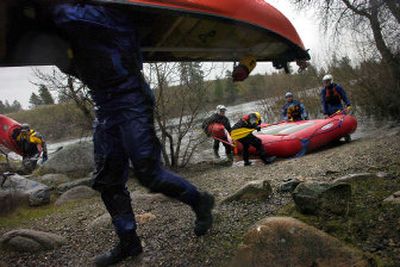

A two-hour float down one of the most popular stretches of the Spokane River begins where boaters lug kayaks and canoes down a humble strip of gravel beside the Barker Road Bridge.
“When you get on the river, everybody is in the same medium,” said canoeist Robbi Castleberry, who has floated the Spokane with her husband, Vic, for some 30 years. “They’re just all boaters at that point.”
With Wednesday’s rain tapping at their dry suits, the Castleberrys and a diverse collection of Spokane Canoe and Kayak Club members put in for one of the first floats of the year.
Their cars hugged the shoulder of Barker, where a quiet neighborhood butts up against the north side of the river and boats line up on the shore next to the slime-covered bridge pilings.
Lately the floaters’ shared interest includes concerns about one of their favorite put-ins. The city of Spokane Valley plans to widen the Barker Bridge to four lanes next year, eliminating the informal access point.
At a recent City Council meeting, the club presented the city with 19 letters on the topic. Some were from canoe and kayak groups from as far away as the Puget Sound area. Others were from institutions such as the Union Gospel Mission and area colleges that use the access for programs and classes. Another was from a Spokane County sheriff’s deputy who uses the put-in to patrol the river by kayak in the summer.
What they all had in common was a sense of alarm that the floating community might lose one of the only access points to the river between Harvard Road and Mirabeau Point Park.
“This is one of the two most frequently floated stretches on the Spokane,” said John Patrouch. “It’s pretty busy out there, actually.”
When Wednesday’s group pushed away from shore, their affection for Spokane Valley’s slice of river was evident.
Driven by spring runoff, the waves stand up a good three feet above the shore near Flora Road. Canoes and kayaks bound through the water as their owners shout to each other jovially about the ice-cream headache they’ll get if they stick their heads under the 40-degree water.
“At every level the river is different,” Robbi Castleberry said. “It’s more than just the water,” she said, describing the resident birds along the corridor that appear in different seasons.
When the water level comes down, inner tubes and discount-store rafts will join the kayaks, and floaters will crowd the banks of the more popular put-ins and rapids.
So far, their concerns about the Barker Bridge access haven’t fallen on deaf ears.
The city is in the process of completing its first long-range parks plan, and city officials suggest that some kind of access will likely be preserved.
“We’re really looking at two options right now,” said Spokane Valley parks director Mike Jackson.
The first would be to overhaul a Centennial Trail facility across the river to make it easier to get boats to the water.
The other option would be to buy a more permanent access point to be acquired in a few years. State officials will look at the area Monday to see if it’s a good fit for a grant that would help fund the project, Jackson said.
On the river, boaters were eager for information from the city and seemed receptive to the proposals.
Kayaks line up a standing wave near Mission Avenue this time of year to practice tricks. The green river looks hypnotic beneath them as the rapid holds the boats in place while the water rushes past.
“It’s a great stretch for people to learn,” said Cathy Gephart, a mother and physical therapist from Coeur d’Alene.
Depending on the water level, the rapids are class two – relatively easy but still exciting for experienced boaters.
Along the banks, houses and the remnants of Spokane’s industrial history crop up, then disappear for long stretches in the trees.
Out of the trees, a huge sign affixed to Best Buy suddenly appears above the Sullivan Bridge. But after that, it’s hard to tell that there are several acres of parking lots and big-box stores up above.
“You get down here and you really can’t see much, which is nice,” said Ryan Donahoe.
According to people who have floated it for years, the river looks much as it always has even as the urban landscape grew around it. And river users seem intent on keeping it that way.
With the next closest whitewater some two hours away, the Spokane River and the Barker to Mirabeau stretch in particular will be closely watched in the coming months by the organizations and people who use it.
“You can get off work and be here in 30 minutes, even from the North Side,” said Marlene Williams.
“I don’t think Spokane realizes what we’ve got with this river.”