High Drive Bluff Trails
Directions: There are multiple access points to the Bluff Trails. Look at this map to find the best access point from where you are.
(Spokesman-Review file)
Submitted by: Cheri Switzer
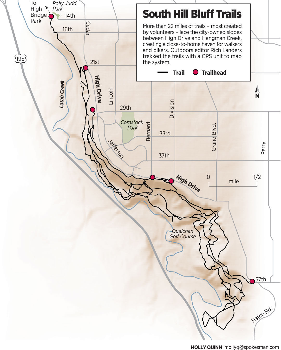
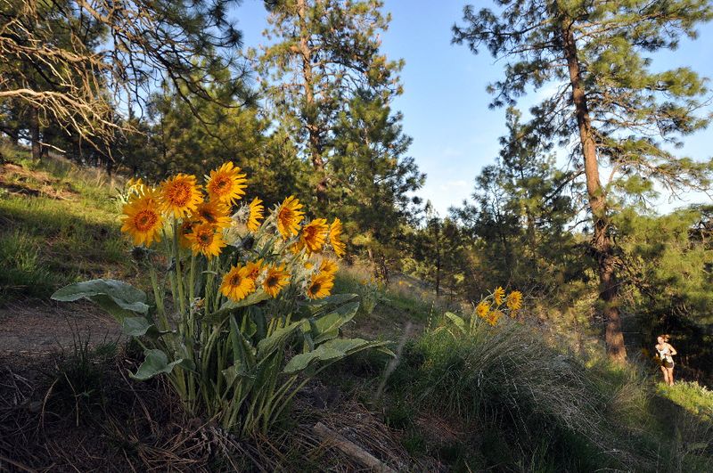
Built by volunteers over the last few decades, this network of trails has become a favorite for biking, hiking, running, and dog walking. There are more than 22 miles of trails on the city-owned slopes between High Drive and Hangman Creek. See a map of the trails.
Source: Spokesman Review archives

(Spokesman-Review file)

(Spokesman-Review file)
Directions to the next stop: Finch Arboretum
3.2 mi away
Head west on W High Dr toward S Bernard St
Take the 2nd right onto S Bernard St
Slight right onto S Grove St
Continue onto S Ben Garnett Way
Continue onto S Washington St
Turn left onto W Sprague Ave
Turn right onto N Lincoln St
Take the 2nd left onto W Main Ave