UPDATE: DNR updates 3 maps for southeastern Washington
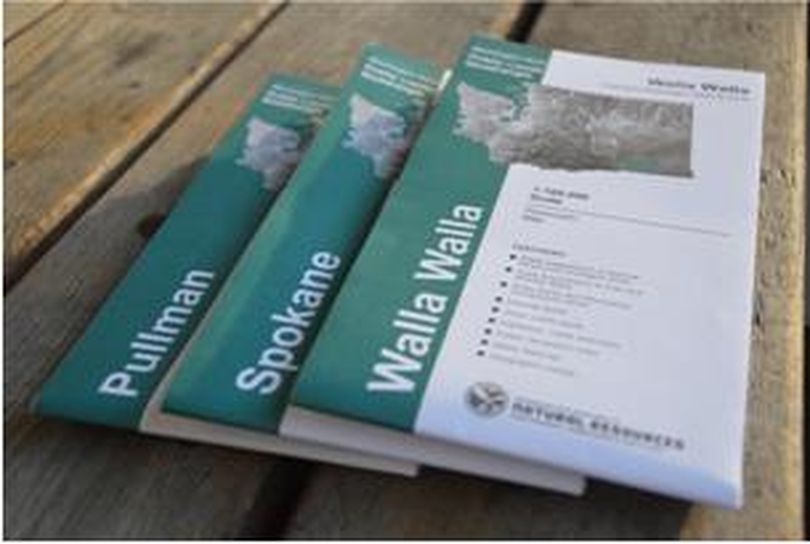
AGENCIES – Three updated maps designating public lands have been released by the Washington State Department of Natural Resources to aid the public in heading outdoors near Pullman, Spokane and Walla Walla.
Popular with hunters and other recreationists and a resource for emergency responders, the shaded-relief quadrangle maps detail roads, property boundaries, trails, recreation sites and other public land information.
The maps highlight public lands managed by DNR, Washington Department of Fish and Wildlife and the State Parks and Recreation Commission, as well as lands managed by federal and other public agencies.
The updated color maps along others in the 50-map series covering the state are sold for $9 each plus tax. They are available online through the DNR map sales web page.
