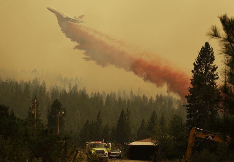
Region’s wildfires listed with links for updates, closures, maps

WILDFIRES -- Following are recent posts on most of the Inland Northwest wildfires or fire complexes with links you can use to get maps and information on access and closures that are updated almost daily.
Stay tuned... recent rain was nice, but the fires are still burning and road, trail and area closures are still in effect.
On the bright side, U.S. 20 (the North Cascades Highway) reopened Sunday after two weeks of wildfire closures.
- For fire mapping updates, see the Wildfire Activity Web Map.
- See links to updates on all Washington fires here.
- See links to updates on all Idaho fires here.
- See links to updates on all Montana fires here.
Check these recent posts for more specific links:
- NEW! Alberton Gorge area of Clark Fork River closed by wildfires
- NEW! Clark Fork Complex fires expand to 14,800 acres; all Idaho Panhandle closures listed
- NEW! Graves Mountain fire transfers to Kettle Complex as other Colville Complex fires nearly contained
- NEW! Clearwater-Nez Perce close most of forest as winds whip up fires
- NEW! Snow Peak Complex fires block access to St. Joe areas, Mallard-Larkins
- Huge swath of Idaho Panhandle north of I-90 to close Sunday
- Clearwater-Nez Perce fires at 80,000 acres, growing
- Grizzly Bear Fires expand to 72,000 acres; Wenaha wilderness closed
- Kettle Complex fires at 62,000 acres; some roads, trails closed
- Carpenter Road fire expands to 55,900 acres in Stevens County, Spokane Reservation
- North Star fire bearing down on Republic area, Nespelem
- Kaniksu Complex fires up to 18,500 acres, but Priest Lake open for business
- Parker Ridge fire expanding toward U.S.-Canada border
- Essex evacuated, but most of Glacier Park open to recreation
- Lake Roosevelt boating areas closed by fire danger
- 18 miles of main Salmon River closed; rafters evacuated
- Colville National Forest closes areas to public access
- Hunters, hikers must be flexible during wild wildfire season