This column reflects the opinion of the writer. Learn about the differences between a news story and an opinion column.
Getting There: Roundabout, traffic light slated for Ray-Freya as city looks to update network around Ferris

Driver’s ed students at Ferris High School are going to want to pay attention to the lesson on how to navigate a roundabout.
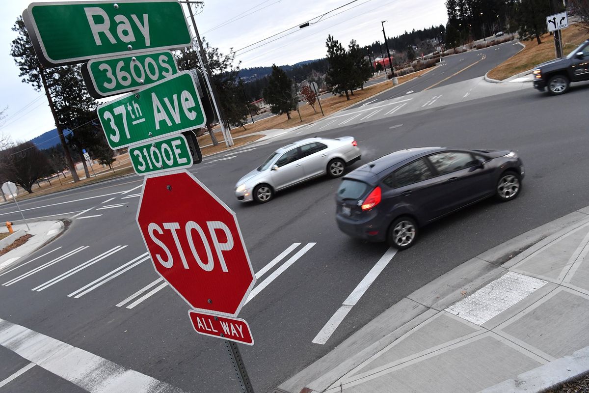
That’s because the city of Spokane has settled on a new plan for improving traffic flow on 37th Avenue, along the school’s north side, and it involves the removal of “two or three” houses to make way for the construction of a new roundabout at one of the school’s primary entrances at Ray Street.
The plan for the corridor also includes a stoplight at Freya Street and 37th Avenue, as well as bike and pedestrian improvements at the Ray and Freya intersections.
For now, those proposed nonmotorized improvements are limited to a shared-use pathway on the south and west side of the roundabout, plus a dedicated bike lane along 37th Avenue at the new traffic light.
But many more additions to the area’s biking and walking network could follow.
The Ray-Freya Alternatives Analysis – as the city-guided, consultant-driven report released this month is known – lays out a large number of other ideas for creating new paths and active-transit connections around Ferris.
“Some of these may be accomplished along with the proposed traffic improvements to 37th/Ray and 37th/Freya,” the report states. “Others will be separate projects.”
One of those additional nonmotorized proposals would make use of land that was long set aside for the so-called Ray-Freya Crossover, a planned street that would have started at Ray Street’s current terminus at 37th Avenue, wound through the east side of the Ferris campus and connected to Freya near 42nd Avenue.
Eyed as the best option for solving the same traffic issues the new plan seeks to solve, the crossover was first proposed in 1966. The idea died and was revived multiple times before being stripped from the city’s Comprehensive Plan, which guides growth, in 2017, though earlier this year it was reintroduced in a different form.
The new report recommends the city use that land as well as frontage along 37th Avenue not for cars, though, but for a new shared use path from the new roundabout to Freya and 44th, with connection along the way to the Hazel’s Creek area.
Another path is proposed along the south side of Ferris, beginning at Regal Street at Thurston Avenue, then heading east through school or KREM property to Hazel’s Creek.
To connect that path to the crossover path, the report recommends paving the existing soft-surface pathways through Hazel’s Creek.
Another new paved walking and cycling trail is recommended along the Ray Street alignment through the Ferris campus to 42nd Avenue.
The report doesn’t limit its recommendations to the high school property, though.
It also recommends construction of a path along the west side of Ray Street from 37th Avenue to 35th Avenue, where another path would run west down the median to Fiske Street, and construction of a path on the west side of Freya Street from 44th Avenue, where the crossover trail would end, to the Palouse Highway.
It would also designate 39th Avenue as a future greenway route, including a pathway through Hamblen Park.
And beyond the changes to 37th Avenue, the report includes several other proposals designed to improve the local street network in the broader area, including:
- Connecting Regal to 42nd Avenue at Fiske Street, and connecting Fiske from 42nd to 44th;
- Building 47th Avenue from Freya Street to Myrtle Street;
- Continuing 53rd Avenue eastward to the Ferrall Street cul-de-sac and extending Ferrall Street south to 55th Avenue.
Those ideas join a slate of other work the city already has planned for the surrounding area, such as a roundabout at Freya and the Palouse Highway.
The aim of all these changes is to deal with traffic issues that have plagued the area since the Ray-Freya Crossover was first proposed 55 years ago and that only look to worsen with more development slated and proposed for the city’s southeast side.
The new report considers five options for doing so, most of which mixed and matched the use of roundabouts and traffic lights at Ray and Freya.
But one of the proposed alternatives would have finally built the crossover.
According to a survey conducted in June, that old idea was the least popular option. The most popular was the one selected.
The city conducted extensive outreach as part of developing the new plan, including two surveys, virtual meetings with Ferris and Spokane Public Schools officials, and online public meetings.
That public input was accounted for, according to the study’s authors, but so was analysis of how the various possible changes would alter traffic flow.
“This (recommended) alternative allows for a moderate shift in traffic from the Regal corridor to Freya corridor, as the roundabout will allow a steady traffic flow and minimal delay at 37th/Ray,” the report states. “The roundabout will minimize the impact to the high school traffic flow as the existing driveway can remain in place.”
But selecting a preferred alternative only begins the process of building it, said Inga Note, a senior traffic-planning engineer, said.
The city has no shortage of plans to implement, and Note said officials will have decide how the Ray-Freya change “should be prioritized” as the city works to turn its ideas for improving the infrastructure of a growing city into realities.
She said it will likely take six to 10 years before the roundabout is in place, the new traffic light is installed and the initial shared-use paths are constructed.
Note said the first step for implementing the Ferris-area changes will involve seeking an endorsement from the City Council next month.
“Normally, we don’t adopt a study,” Note said of the planned action. “But I guess (City Council members) want to make sure it doesn’t get put on a shelf and forgotten about.”
Once that happens, staff will seek to update the city’s bike plan to include the new pathways.
“Then we’ll start looking at cost estimates internally,” Note said. “And once I have a good idea of what it will cost to do the signal at 37th and Freya and the roundabout at Ray.”
But Note said the city is already collecting funds for the improvements through the city’s impact-fee program, since it was clear some change would have to be made eventually.
“We collect fees from all the developments that happen in the city,” she said. “And we have different districts, and for each district we have a special project list. So this would be the South District.
“When we updated that plan in 2019, I expected we would have some kind of improvement here, but I didn’t know what it was going to be,” she continued, “so I labeled it as Ray-Freya Alternative and put $4 million as a placeholder.”
Note said the city will seek grant funding to supplement the impact-fee money, then start a detailed design.
“Then we’ll have an opportunity to go out and get more detailed comments, once we have something for people to look at,” she said.
Work to watch for
The following road closures will be on Thursday for grind-and-overlay work: Howard Street between 5th and 7th avenues, as well as 6th Avenue between Wall and Washington streets.
Hamilton Street will be reduced to one lane in each direction between North Foothills Drive and Illinois Avenue on Wednesday for city tree work.