Weathercatch: Why our fire season hit late – and bad
We just emerged from the first week of September, and boy, did autumn feel far away:
Temperatures in the Inland Northwest ran about 10 degrees above normal, accompanied by desertlike humidity levels.
Nine sizable wildfires burned in Washington state. From the Columbia River Gorge to the outskirts of Cle Elum, charging flames and billowing smoke led to evacuation orders of homes and the closure of roads, popular campgrounds and hiking trails.
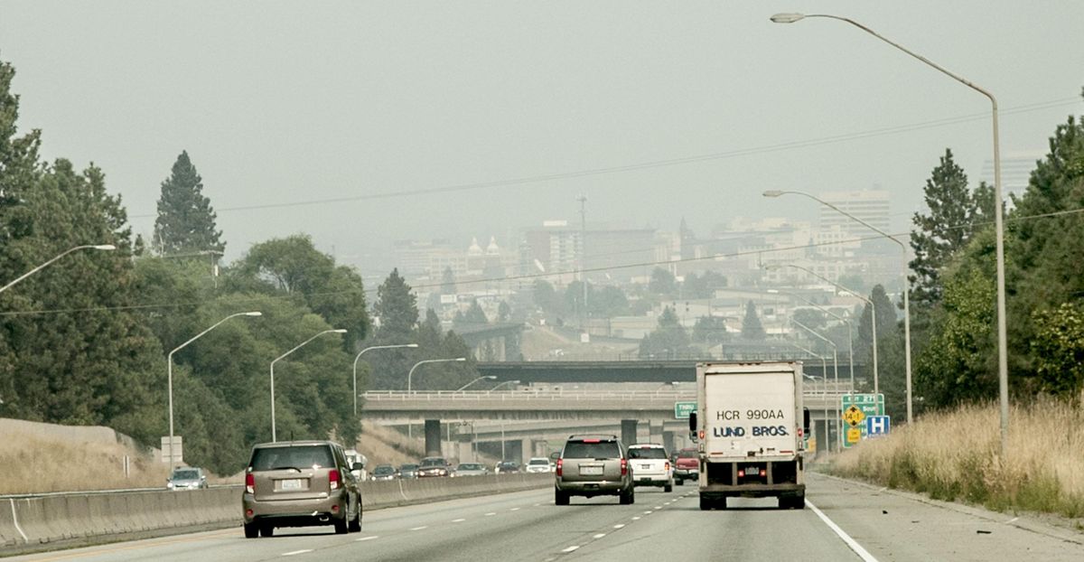
Smoke-filled skies that blotted out the sun created “hazardous” readings on the air-quality index in several locations, including Spokane, Clarkston, the Colville Reservation and Newport.
Ash fell on Seattle and Portland.
Why did the region’s wildfire season mushroom at the cusp of fall?
Trees, grasses and other foliage that had grown lush in heavy spring rainfall turned bone-dry during prolonged summer heat, feeding flames in places that haven’t seen measurable rain for two to three months. An example is the lightning-caused Jolly Mountain fire, 11 miles northwest of Cle Elum, where a mere one-tenth of an inch of rain has fallen since June 1.
There and elsewhere in the state, it was clear last week that higher-than-average temperatures, gusty winds and a dried-out environment thick with fuel put 2017 on track to be a historic fire season. After declaring a state of emergency for all of Washington, Gov. Jay Inslee activated the National Guard to help firefighters contain the larger blazes. The federal government assigned 200 active-duty military soldiers to assist as well.
In addition to charred swaths of destruction, a dense blanket of smoke spanned the entire state. Not surprisingly, smoky air from the numerous fires merged into one giant mass. With fires burning north, south, east and west, changes in wind direction had little effect on pushing it out. So the gray mass sat.
On Sept. 8, the smoky haze finally began to lift as a cooling front with plenty of wind approached the region. By the next day, we could see blue skies again.
The wildfires, however, continue to scorch. As more than 800 firefighters try to contain central Washington’s Jolly Mountain fire, it’s expected “to burn until extinguished by fall rains and/or snow,” according to a recent online update on InciWeb, adding that much of the area is rugged and poses the risk of falling trees to personnel. (Go to: http://bit.ly/2fdQl7B)
Although any meaningful snowfall remains a couple of months away, we may actually see some rainfall next week. Stay tuned.
Nic Loyd is a meteorologist with Washington State University’s AgWeatherNet. Linda Weiford is a WSU news writer and weather geek. Contact: linda.weiford@wsu.edu or nicholas.loyd@wsu.edu.