Getting There: Pedestrians have right of way
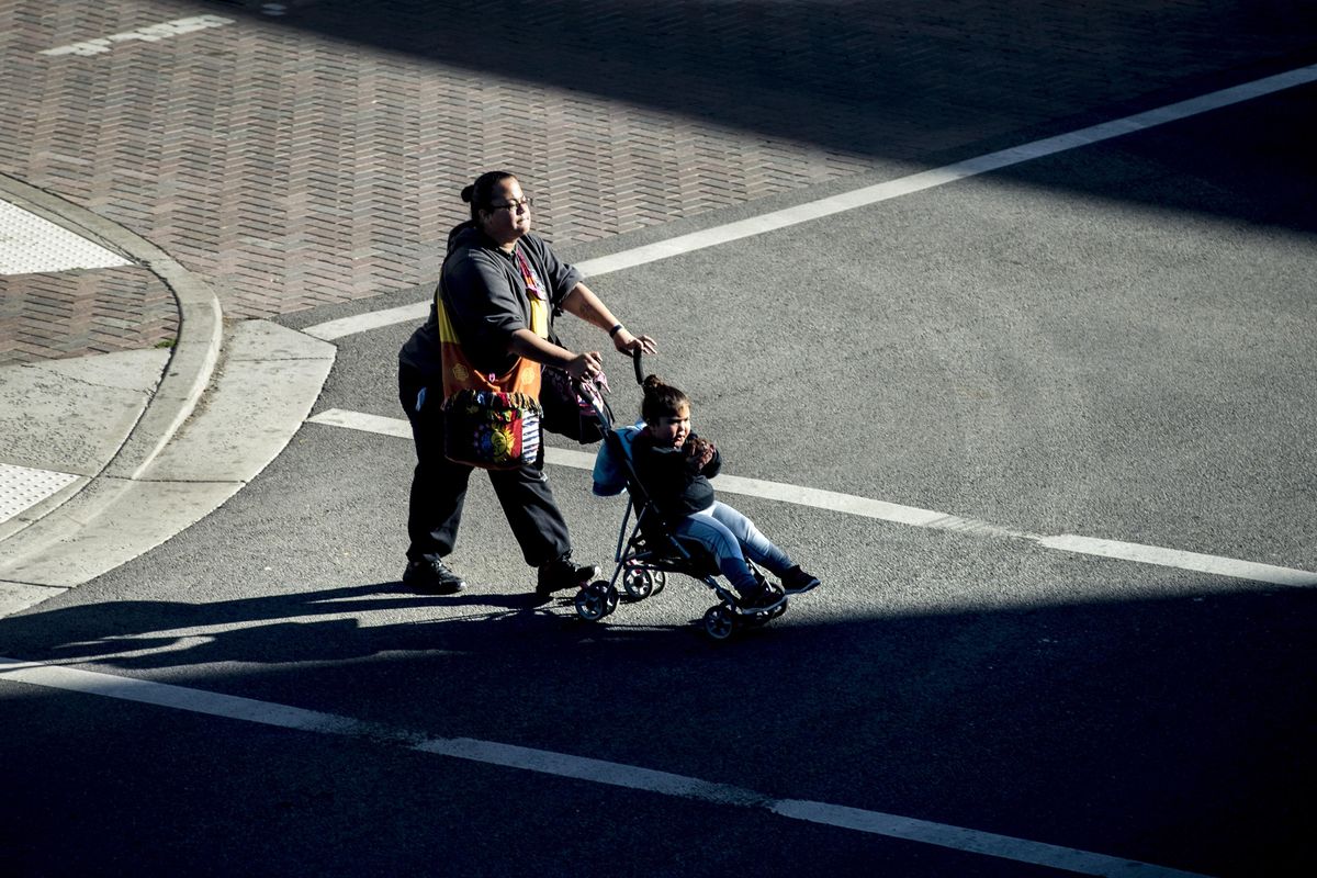
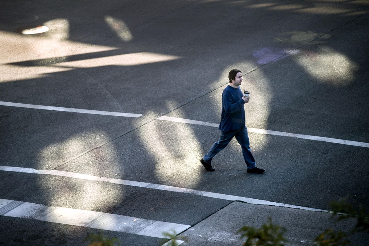
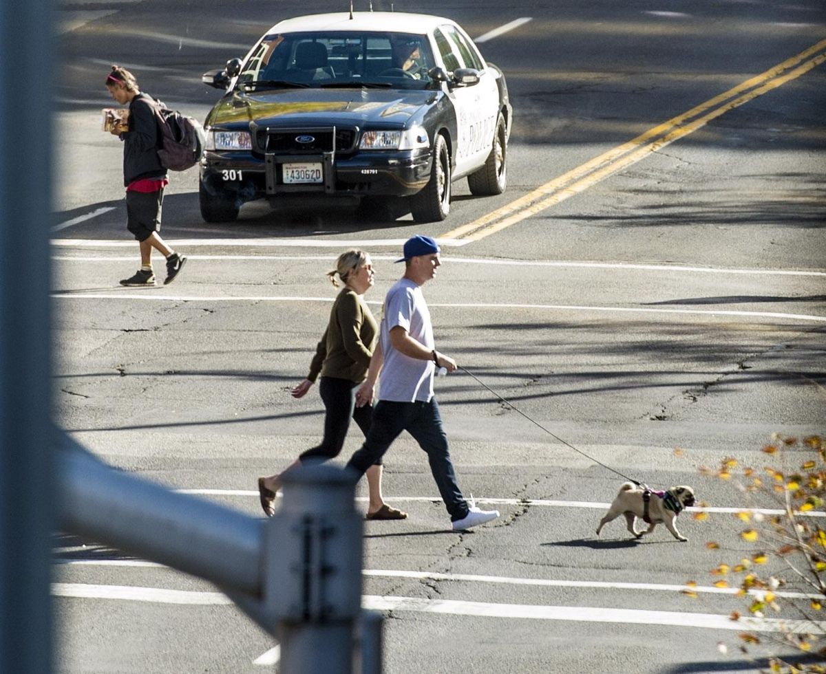
Pedestrians cross Riverside Avenue at Howard Street on Sunday, Oct. 1, 2017, in front of a police car in downtown Spokane. (Dan Pelle / The Spokesman-Review)Buy a print of this photo
Pedestrians go first.
At any intersection, crosswalk or not, people can step off the curb and walk across the street. Cars must stop for them. It’s the law.
“Every intersection is an implied crosswalk. Which means a pedestrian has the right of way, whether or not there’s a crosswalk,” said Heleen Dewey, a health program specialist at the Spokane Regional Health District. “We know, as pedestrians, that not everyone knows that.”
It’s true. The law is commonly ignored by motorists. Go try crossing the street at Lincoln Street and Main Avenue near the downtown Spokane Public Library and see for yourself.
If a motorist fails to yield to a pedestrian, that’s a $124 ticket.
Before you run out and blindly cross the street, though – face buried in your smartphone because, well, you rule the road – know that it’s not a lawless concrete jungle out there. There are some rules pedestrians have to follow, and they’re all pretty commonsense.
If there’s a traffic signal, the rules of the road apply. Crossing on a red is against the law, and unsafe.
Pedestrians can cross anywhere in the road, intersection or not, but only if no cars are coming. Don’t dart into traffic. Watch for those 4,000-pound beasts of pure blunt force. If you survive, you still broke the law.
Use a sidewalk if there is one, and there are 1,508 miles of sidewalks in the county. If there’s not – and this could be the case in a county with 3,289 miles of roads with no sidewalks – walk on the left side of the road, facing traffic.
Remember these rules because at some point in every day, we’re all pedestrians. We get out of our cars, step off the bus, hop off our bikes or leave our house and travel down a sidewalk. Walking is the “most fundamental transportation choice,” according to the Spokane Pedestrian Master Plan.
Despite the ordinary nature of walking, motorists and transportation planners alike have lost sight over the years of its primary place in our daily lives. But in the last 20 years, the federal government has pushed to make our roads safer for walkers.
In 2010, the Federal Highway Administration released a 15-year update to its National Bicycling and Walking Study, which was first conducted in 1994. Its results are staggering.
According to the study, walking and biking were the “forgotten modes” of travel in 1990. At the time, $6 million was spent in federal funds on bike and pedestrian infrastructure. Just 4.4 percent of all trips were done on foot or bike, down from 7 percent 10 years before. Still, bike and pedestrian crashes accounted for 15 percent of all traffic fatalities.
Recognizing the decline in the inherently safe and healthy modes of travel, and the rise in fatalities from crashes involving automobiles and people, the U.S. Department of Transportation in 1994 adopted the first national policy to encourage walking and biking, while urging planners and engineers to design safer infrastructure.
Since then, federal spending on infrastructure for bikes and pedestrians has gone way up, leading to a leap in the use of those modes of transportation. Fatalities are down as well.
In 2009, the federal government spent $1.2 billion on such infrastructure, less than 2 percent of the $87 billion spent on all transportation. The spending and new policy worked: The modes now account for 12 percent of trips and 13 percent of traffic fatalities.
Spokane has followed the federal government’s lead, endorsing the National Association of City Transportation Officials Urban Street Design guide in 2014. The city’s Comprehensive Plan, first created in 2001 and updated this year, says to “protect and serve the pedestrian first.”
So despite the personal automobile ruling our commute, remember: Pedestrians go first.
Got a transportation question you want answered? Write nickd@spokesman.com.
Pedestrian improvements around the city
The South Altamont Street curve heading down the hill just got a bit nicer for walkers, as new curbs and landscaping have narrowed the lanes for vehicular traffic. The work took place where East Ninth Avenue and South Altamont connect, essentially the northern tip of the Altamont loop. The $125,000 project was paid for with community development funding.
Down the hill, a project to replace sidewalk along Fifth Avenue from Haven to Fiske streets has begun.
Work on new pedestrian infrastructure near Regal and Bemiss elementary schools and Shaw Middle School in north Spokane continues. Crews are working at the intersections of Regal Street and Rich Avenue, Garland Avenue and Cook Street, Empire Avenue and Stone Street, and Stone from Empire to Bridgeport avenues. This $565,000 project includes new sidewalks, bump-outs, disabled-accessible curb ramps, storm drainage upgrades, pavement replacement and signage.
New sidewalks, bump-outs, curb ramps and signs are coming to the area around Ridgeview Elementary School. The $600,000 project will close Everett Avenue from Monroe to Belt streets to traffic.
East Sprague Avenue is open again, with wide sidewalks, pedestrian islands and bump-outs.
In the city
Upriver Drive between Mission Avenue and North Center Street will be closed starting Monday, Oct. 2, for construction work by Avista. The work is expected to be done by Oct. 20.
Strong Road remains closed from Rustle Road to Phoebe Street for the installation of a 12-inch water line, new pavement, curb, sidewalk and drainage features. The $1.7 million project is expected to be completed around Oct. 20, when the road will reopen.
Grind and overlay work on Buckeye Avenue between Division and Ruby streets will close lanes and cause delays.
Weather-dependent maintenance will be done on Market Street between Upriver and Euclid Avenue.
Walker Construction will completely close Main Avenue between Wall and Howard streets for roadwork until Oct. 5.
Work on the Crestline Street lane reduction project between Euclid and Francis avenues is underway and expected to be complete later in the fall. Southbound traffic is reduced to one lane from North Foothills Drive to Empire Avenue. When southbound work is done, crews will move to the northbound lanes from North Foothills to Empire, and then to the section from Empire to Wellesley Avenue. This $510,000 project includes lane re-striping and sign installations.
Sewage, stormwater continue to impede roadways
Work continues to impact Fifth Avenue from Arthur to Perry streets and Denver Street and Celesta Avenue for work on the Combined Sewage Overflow, or CSO, tank. The $9.5 million project is building a 2-million-gallon tank and is part of the city’s effort to stop all sewage and stormwater from entering the Spokane River.
Also in East Central, work on two other tanks has started, closing Riverside Avenue between Magnolia and Napa streets. A 200,000-gallon tank and a 1.5-million-gallon tank are being built – $2.8 million and $13 million projects, respectively.
Downtown, a $16.3 million project to construct a 2.4-million-gallon CSO tank and the necessary piping continues to have major impacts for residents and commuters near Adams.
Construction continues on a $20 million, 2.2-million-gallon concrete CSO tank on Spokane Falls Boulevard and Lincoln Street across from the downtown library. Spokane Falls from Lincoln to Monroe is closed. Lincoln from Spokane Falls Boulevard to Main is the detour route for traffic coming from the River Park Square garage. Spokane Falls Boulevard turns into southbound Lincoln and has two lanes of traffic, and drivers must go east or west at Main. When complete, the tank will include a new public plaza with views of the lower falls of the Spokane River.
Just north of the river on Monroe, the $5.9 million project on a 1-million-gallon tank is largely complete.
Construction on the 1.4-million-gallon CSO tank located to the east of TJ Meenach Drive, below Northwest Boulevard, continues. Grace Avenue will be closed from Alberta to Cochran streets until December due to the $8 million project.
Upriver Drive is closed just east of Freya Street, and Rebecca Street is closed from Upriver Drive to south of Ermina Avenue for work on a 380,000-gallon CSO tank. A detour is in place for the Centennial Trail for the $875,000 project.
Pines Road in Valley to be realigned for rail tracks
Two options for realigning Pines Road for a BNSF Railway underpass south of Trent Avenue will be unveiled and discussed at a community meeting on Wednesday from 5 to 7 p.m. at CenterPlace Regional Event Center, 2426 N. Discovery Place, in Spokane Valley.
The underpass will replace the at-grade railroad crossing to improve safety and reduce traffic congestion. The at-grade rail crossing at either University Road or Vista Road may also be eliminated. It’s estimated that every day, 162 minutes of vehicle wait time will be eliminated. Removal of the crossing will eliminate the need for trains to sound horns at the intersections.
For more information, contact project manager Erica Amsden at eamsden@spokanevalley.org or (509) 720-5012.


