Break in poor air quality could come early next week
What’s shaping up to be a record-breaking heat wave could come to an end early next week as a storm system blows into the Northwest.
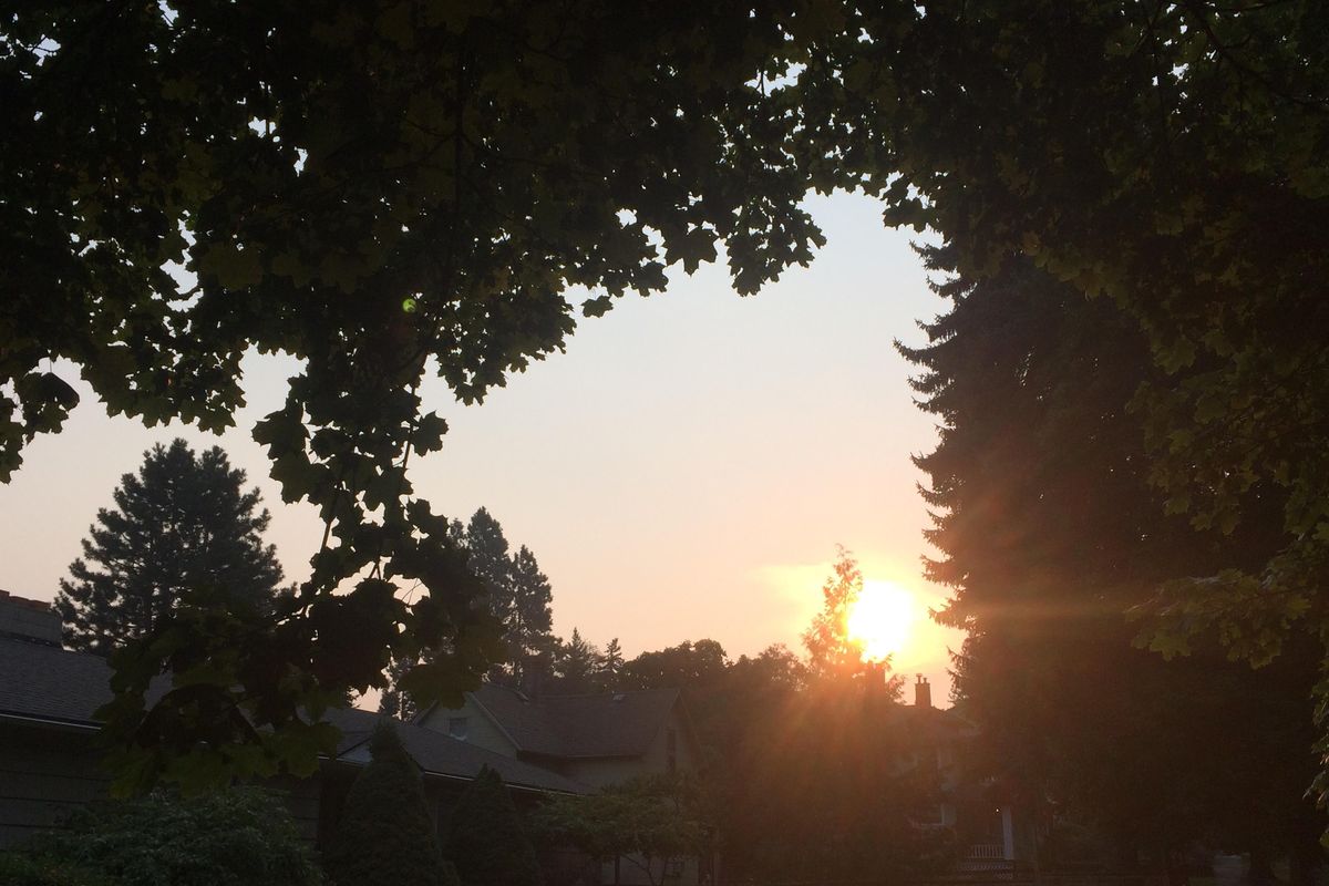
The change would help rid the region of wildfire smoke from British Columbia that has hung over the region for days and prompted Spokane health officials to declare the the air “unhealthy.”
First, however, is another string of hot days. Spokane is likely to set a new record for consecutive days of 90 degrees or hotter later this week.
Then slow-moving thunderstorms are expected to roll across the mountains as a new low pressure system starts to advance southward from the Gulf of Alaska. The storms could cause downpours and mud slides, forecasters said.
“We are shifting to what appears to be a cooler and potentially wetter pattern,” said forecaster Bryce Williams of the National Weather Service in Spokane.
Air quality in the “unhealthy” category is rare. Last year, daily air quality never reached that level. It happened five times, however, in August 2015, but not once in August 2016, 2014, 2013, 2012 or 2011.
The agency recommends that outdoor athletic events and practices be canceled when air quality reaches the “unhealthy” category.
The level of smoke in the air was measured at 153 on the air quality index on Monday morning at a monitoring station near Monroe Street and Wellesley Avenue.
The rating of unhealthy air for all persons starts at 150, but air quality from 100 to 149 is considered unhealthy for persons with medical issues.
Smoke is measured as tiny particles known as PM-2.5.
The weather service on Monday said that the smoke problem is going to persist through at least Saturday.
Highs should reach the middle 90s through Saturday. Friday could be the hottest day of the stretch with a high downtown of 97.
The Inland Northwest is under a stable area of high air pressure with a wind circulation coming from the northwest. That is allowing smoke from British Columbia fires to work southward.
Forecasters said the heat will subside starting Sunday, but any changes may be accompanied by thunderstorms in the mountains. That raises the prospect of new wildfires, forecasters said.
The clean air agency in its pollution forecast on Monday said, “High pressure will continue to bring above-average temperatures to the region, with mostly clear skies and light northerly winds.”
“Due to the current high pressure system, the winds will transport additional wildfire smoke (PM-2.5) from various regional fires to our area. Although ozone levels will be elevated somewhat, conditions should improve during the day, but as the air cools and sinks in the evening poor overnight ventilation will allow a buildup of fine particulates (PM-2.5)” through Tuesday.
Some particles in wood smoke get converted to ozone, which raises the level of that pollutant. Ozone is known for creating burning in the eyes.
Also, larger dust particles were elevated on Monday in the range of moderate pollution.
Pollution levels were dropping Monday afternoon. “We start getting a little more ventilation” in the afternoon, said Stephanie May of the clean air agency.
An early morning temperature inversion up to about 3,300 feet in elevation Monday morning acted like a lid on the pollution near the ground.
The inversion was measured by the weather service at the Spokane bureau office northwest of Cheney.
The inversion ends by afternoon and allows for smoke and other pollutants to become less concentrated.
“There are a lot of different things going on,” said May, a public information specialist.
Since the end of July, Spokane has recorded 11 straight days of highs of 90 or hotter.
The forecast calls for reaching a record 15 consecutive days at 90 or hotter on Friday. The record dates back to 1894.
Also, the current dry spell stood at 40 days on Monday in Spokane.