New Roskelley guidebook reveals charms of Columbia River
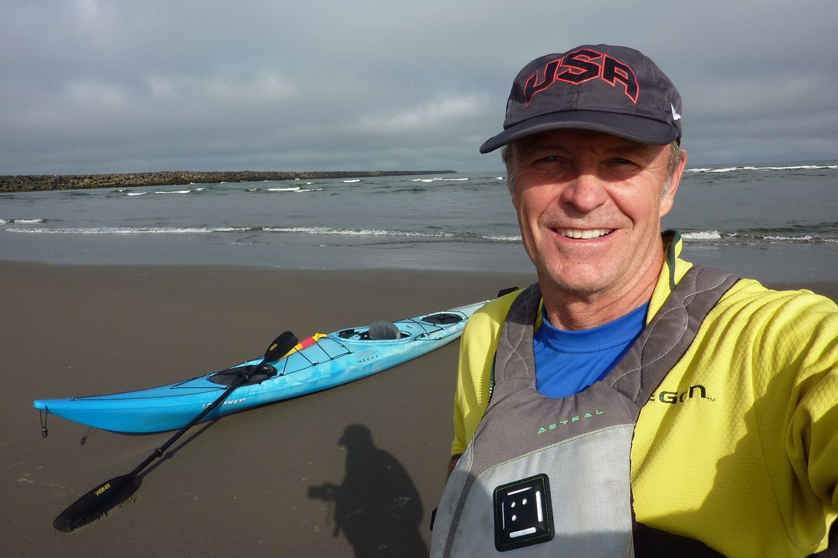
John Roskelley of Spokane prepares to launch his kayak on the Columbia River, which he measured at 1,200 miles.
Internationally recognized mountaineer John Roskelley of Spokane came down to sea level for his latest adventure, compiling 1,200 miles of sea kayaking on the mighty Columbia into a guidebook for boaters, especially those traveling by muscle power.
“Paddling the Columbia: A guide to all 1,200 miles of our scenic and historical river,” (Mountaineers: $25) details 35 travel segments from the river’s source in British Columbia downstream to the Pacific Ocean.
“Paddling and climbing have many similarities.” Roskelley said.
The most obvious, he added, is the front-row seat to nature and wildlife.
“There’s definitely more to see than I imagined, even though I’ve traveled along portions of that river all my life,” he said. “I found stretches with services as well as remote areas where you’re really isolated from roads or development, like a 67-mile stretch on Kinbasket Lake in Canada.”
Roskelley, 65, paddled the river over three seasons with the help of his wife, Joyce, who dealt with logistics and shuttles.
“It was fun working together, camping and being along the river,” he said, noting that it takes time to gather the details for a guidebook.
They figured out how to portage the 14 hydroelectric dams, while Roskelley documented rapids, high water, whirlpools, tidewater and other dangerous water features and mapped man-made hazards such as pilings, wing dams and columns.
The book lists ferry schedules, motels and other services plus campgrounds and campsites
A surprising number of beaches along the river are perfect for a kayaker’s getaway.
“And I was amazed at how often I was the only one on a stretch,” he said.
One of his favorite legs is Lake Rufus Woods from Grand Coulee Dam downstream to Chief Joseph Dam and park.
“The (Colville Indian) reservation is on one side, with a remarkably wild, mostly roadless area on the other side that’s especially beautiful in fall,” he said.
The guidebook would be a big help in planning a long trip, but it’s equally useful for pegging half-day or daylong paddles.
Even a non-paddler would learn a lot about the river in the many sidebar stories on topics such as ferries and fisheries as well as Tech-Cominco’s legacy of pollution.
Water and flows are discussed in detail throughout the book while wind is a major concern, especially in the lower river.
“The best paddling was in the morning and evening, and sometimes you just had to stay off the river,” he said.
“I tell my readers, if you see wind surfers and kite sailors on the river with big smiles on their faces near Hood River, you’d better stay on shore with your kayak.”
In 1,200 miles of paddling, Roskelley had only one close call with a power boat. The driver almost rammed the author’s kayak near a clothing-optional island near Portland.
“He was so interested on what was going on at the beach he never saw me,” he said.
Roskelley’s research conflicted with the U.S. Geological Survey listing of the river being 1,243 miles long – a number that apparently dates back to the 1800s.
“If you start at the headwaters of Dutch Creek, you could get about 1,240 miles, but if you start at Columbia Lake, the recognized source of the Columbia, it came to right near 1,200 no matter how I looked at it with GPS and Google Earth,” he said.
“I contacted scientists with the Northwest Power Planning Council and we debated it, but they couldn’t explain how they came up with 1,243 miles.
“I couldn’t live with myself putting down a number I couldn’t document, so we went with the general 1,200 miles.”

