Big meltdown floods urban streets
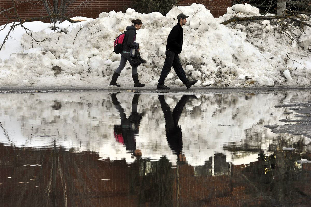
Spokane Community College education student, Kamie McCoul (cq), 20, and her boyfriend, Spokane Community College student, Shane Kelley (cq), 21, walk single file around a giant puddle in the parking lot of the SFCC campus on Jan.13, 2011. Rising temps have cause melting snow and slush through the area. (Dan Pelle / The Spokesman-Review)
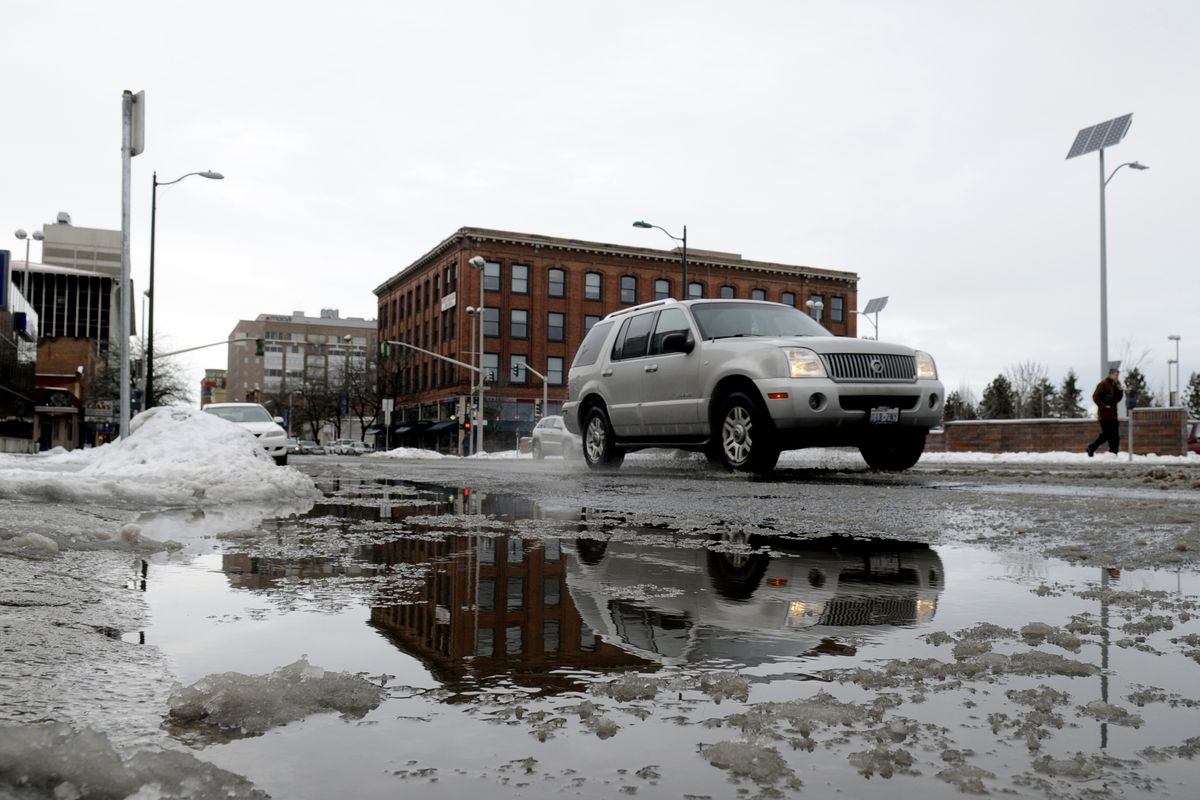
A major meltdown underway across the Inland Northwest is creating traffic hazards along streets and arterials where storm drains are blocked by packed ice and snow.
One law enforcement officer at 7:30 a.m. called in a “large body of water” on Monroe Street at Beacon Avenue.
Many other locations had standing water next to the curb, mainly at low points and intersections. Downtown-area Spokane sidewalks were reportedly very icy this morning. Pedestrians also had trouble at some intersections finding their ways off curbs without stepping into ankle-deep ice water.
The worst of the problem appeared to have passed by mid-afternoon as snow water drained away under temperatures approaching the middle and upper 40s.
Crews were busy trying to unblock drains. City officials said residents can help by clearing a drainage path to catch basins in neighborhoods. Plowing was moving into residential areas and would continue until the melting conditions alleviate the need for the plows, said city spokeswoman Marlene Feist.
The warm wet weather is expected to stick around through Tuesday with temperatures staying above freezing. Highs will mostly be in the low 40s with lows in the middle to upper 30s.
Arctic cold that was in place until Wednesday has been slowly scoured from lower elevations, but enough of the cold remains in North Idaho and Northeast Washington that a winter storm warning has been continued for locations to the north of Spokane and Coeur d’Alene until 4 p.m.
Freezing rain or a wintry mix is possible to the north today.
Also, near freezing conditions continued to cause problems near Moses Lake where most of the schools were closed today.
School closures were also reported in North Idaho.
The closures included Coeur d’Alene, Post Falls, Timberlake, Moses Lake, Ephrata and Warden districts, along with smaller faith-based schools in Grant County.
Freezing rain this morning in Grant County resulted in slippery roads and numerous accidents, including one involving a propane transport truck. No serious injuries were reported in the accidents, said Kyle Foreman, public information officer for Grant County.
In the Spokane and Coeur d’Alene areas, a tenth to a quarter inch of rain is expected today with similar amounts likely every 12 hours through Friday night. Another rain storm arrives over the weekend.
Forecasters said on Wednesday that the milder temperatures combined with rain and wind could eliminate most of the snow pack below 4,000 feet in the mountains.
The rush of water from the mountains, possibly combined with a break up of river ice, could result in local flooding on rivers such as the Palouse, Coeur d’Alene and St. Joe. Small streams may also be swollen and dangerous. Water could run onto rural roadways in low lying areas, and fields may turn to ponds.
Snow was expected at ski areas and higher elevations with the snow level hovering around 4,000 feet near Sandpoint.
An avalanche warning was issued for the North Idaho mountains today, and an avalanche warning was also in place for the Cascades northwest of Chelan and Wenatchee.
At 7 a.m., it was 37 at Spokane International Airport, Deer Park and Coeur d’Alene, 39 at Felts Field and 33 in Deer Park.

