Region paralyzed by snow
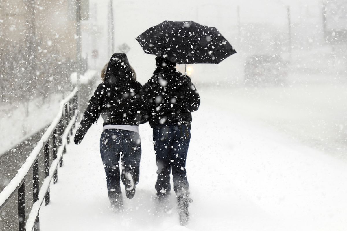
A pedestrian makes her way through heavy snow on Post Street in downtown Spokane Wednesday afternoon. The snowstorm, coupled with extreme icy conditions, triggered numerous traffic accidents throughout the region. The forecast calls for another 1 to 2 inches of snow on Thursday. COLIN MULVANY The Spokesman-Review (Colin Mulvany / The Spokesman-Review)
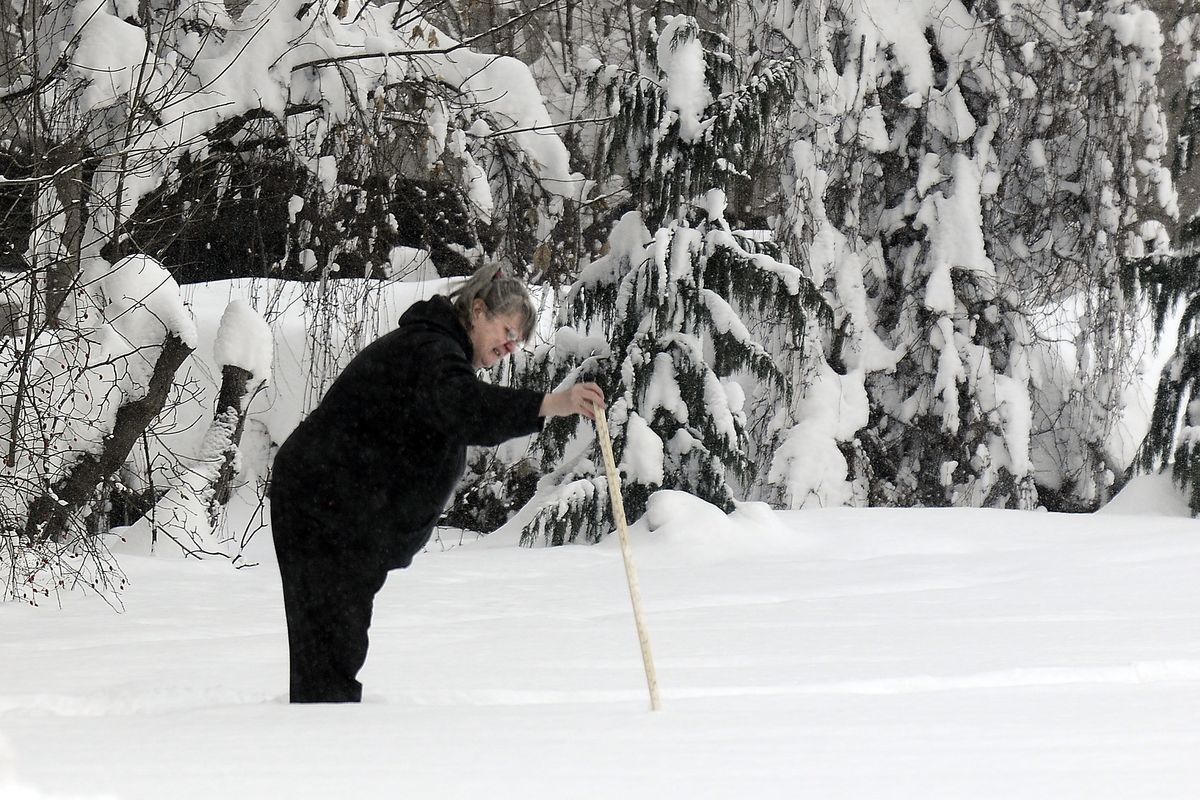
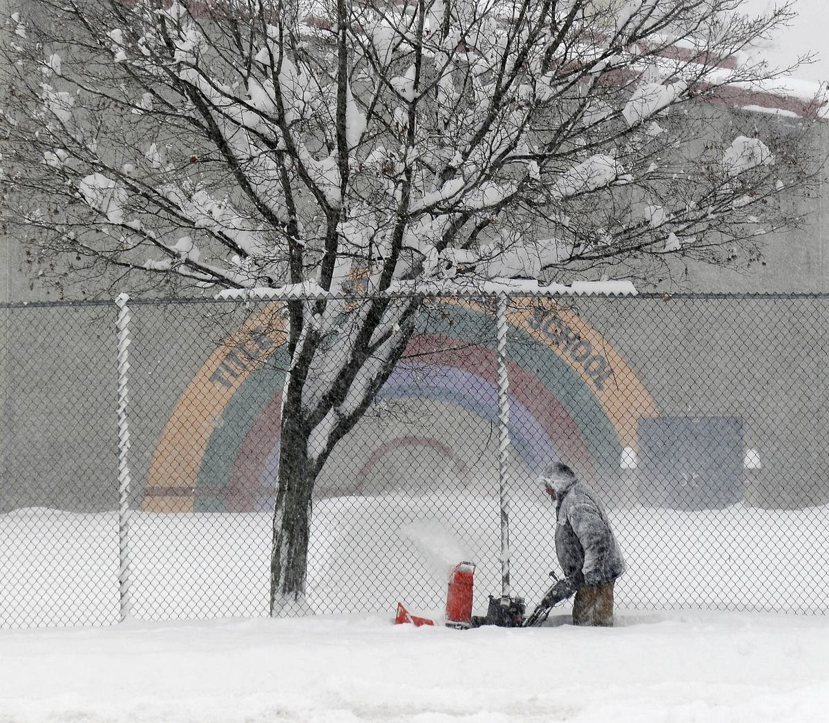
Snowplow crews worked furiously Thursday against a wintry onslaught that dropped record amounts of snow over the Inland Northwest, repeating a pattern left from the brutal 2007-’08 winter.
At nearly 2 feet, the snow was so deep that it forced Spokane crews to focus on major arterial routes in an effort to keep the city from being completely choked.
Stores and government offices closed. Workers stayed home on the advice of authorities on both sides of the state line.
Forecasters warned that there may not be much time to dig out, and the work will have to be done in single-digit temperatures today and Saturday.
Another snowstorm could bring 5 inches or more Sunday with yet another storm in the offing for Christmas Eve or Christmas Day.
Spokane ended up with 23.3 inches over 34 hours ending at 4 p.m. Thursday. Coeur d’Alene had 25 inches by Thursday morning. Other locations had more.
It was the most snow received in both Spokane and Coeur d’Alene in a 24-hour period since record-keeping began.
The snowstorm resulted from “the alignment of everything,” said National Weather Service forecaster John Livingston: An unusual combination of arctic cold and Pacific moisture gathered momentum Wednesday as a storm front stalled over the region.
Air traffic at Spokane International Airport was beginning to take off after long delays and some cancellations. Crews were working to clear runways, taxiways and gates, spokesman Todd Woodard said.
The Washington State Patrol responded to almost 200 collisions in Eastern Washignton on Thursday, though only minor injuries werereported. Troopers also responded to more than 100 disabled vehicles.
Police throughout the region warned drivers to stay off the roads except for emergencies.
Residents were being stranded in their driveways because snow was piled so high on side streets that it high-centered many vehicles, mostly passenger cars.
“All hills, particularly those coming off of the South Hill, are treacherous,” city spokeswoman Marlene Feist said in one of several press releases from City Hall. “The best routes off the South Hill are the Ray/Thor and Grand/Stevens corridors. On the North Side, the best routes are Division Street and the Maple/Ash corridor.”
City plow crews worked to carve emergency routes on major arterials.
A few souls braved the snow. Breakfast was being served at the Perry Street Café at Perry and East 10th Avenue. Owners Geoff and Debbie White were cooking and serving about half their usual crowd.
Darrin and Dana Valdez, visiting from Chicago, smashed through a snowbank to get into the Davenport Hotel parking area.
“They were applauding us as we drove into the parking lot,” Dana Valdez said.
Most schools in the region were closed Thursday.
Schools closed today include Spokane, Central Valley, Mead, East Valley, West Valley, Freeman, Lakeland, Post Falls and Coeur d’Alene.
Also on that list: Orchard Prairie, Rosalia, Reardan-Edwall, St. Maries, Plummer-Worley and Nine Mile Falls school districts.
The Davenport School District will be delayed two hours unless school closes completely. An announcement will be made this morning.
Avista was asking customers to clear snow and ice from electric and natural gas meters and from appliance vents outside their homes to prevent damage or other problems.
Sacred Heart Medical Center canceled elective surgeries Thursday and today as the region’s largest hospital mobilized to ensure it was adequately staffed.
The hospital recruited teams of employees with four-wheel-drive vehicles to deliver some patients and their families home and help other employees get to and from work.
Spokane Transit Authority had only a few buses running early in the day and then pared that to even fewer for the evening commute: route No. 23 Ash/Maple to Five Mile Park & Ride only, No. 25 Division, No. 90 Sprague to Sullivan Road and Mirabeau Park park and ride, and the No. 74 Valley Limited.
Like cars, buses had a tough time negotiating the deep snow: Two were stuck on University Avenue in Spokane Valley and others got bogged down near the STA Plaza downtown.
In Idaho, police advised residents to stay home until roads are cleared.
“We’ve got so many disabled vehicles and slideoffs and traffic hazards now,” said Natalie West, a report taker for the Coeur d’Alene Police Department.
Two state highways were closed – SR 194 and SR 272 in Whitman County – as were several Kootenai County roads on the Rathdrum Prairie.
Athol and Spirit Lake appeared to be the bull’s-eye of the storm with more than 30 inches of snow reported in both locations.
During the 24 hours ending at 10 a.m. Thursday, Spokane had 19.4 inches, beating the record of 13 inches set Jan. 6 and 7, 1950. Coeur d’Alene’s 25 inches Thursday morning busted its record of 16 inches set Feb. 6, 1955.
The storm was remarkable not just for its intensity and duration, but for its narrow aim, said Mike Fries, a weather service meteorologist.
The biggest accumulations were in the area from Cheney to Coeur d’Alene. Folks farther west and south might have wondered what the fuss was about.
“They had 6 inches in Pullman, which is a good storm,” Fries said. “But it really doesn’t compare to 2 feet in Spokane.”
To the west of Spokane, Davenport had about 8 inches, Grand Coulee had 5, Ephrata had 2 and Moses Lake had just two-tenths of an inch, according to reports. To the north, Loon Lake was reporting 19 inches at noon and Clayton, in southern Stevens County, was reporting 22 inches.
The 2007-’08 season brought 92.6 inches of snow, less than an inch off the season record, including a trace of snow June 10 – the latest snow recorded in Spokane since 1881.
More arctic air is forecast for today and Saturday with highs from 11 to 14 degrees Friday with 10 to 15 mph winds, raising a threat of drifting snow. Lows could drop to about zero or slightly below on both nights.


