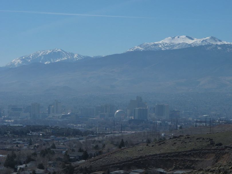
Lowest snowpack on record in Cascades

RIVERS -- Looking at Mount Spokane from town yesterday, I realized I've skinned up and skied to the top of the mountain and down in the past with more snow to work with on Memorial Day weekend.
The snowpack situation is grim throughout the region, spelling potentially big consequences for river running and fishing not to mention irrigation and other needs for water this summer.
Warm temperatures in February contributed to further snowpack decline in the Cascades and Sierra Nevada, according to data from the third 2015 forecast by the United States Department of Agriculture’s Natural Resources Conservation Service (NRCS). Snowpack in Nevada, Utah and Idaho also fell further behind normal.
“Nearly a third of our SNOTEL sites in the Cascades and Sierra Nevada are reporting the lowest snowpack ever measured,” NRCS Hydrologist Cara McCarthy said. “For the first time, some sites were snow-free on March 1. These areas can expect reduced summer streamflow.”
Recent storms helped relieve dry conditions in the Southwest. However, drought conditions persist in California, Nevada and Utah, as well as in parts of Arizona, New Mexico, and Colorado. Areas in Washington and Oregon also remain in drought.
Here's more from USDA:
In Western states where snowmelt accounts for the majority of seasonal water supply, information about snowpack serves as an indicator of future water availability. Streamflow in the West consists largely of accumulated mountain snow that melts and flows into streams as temperatures warm in spring and summer. NRCS' National Water and Climate Center scientists analyze the snowpack, air temperature, soil moisture and other measurements taken from remote sites to develop the water supply forecasts.
The Cascades of Oregon and Washington have received near normal levels of precipitation this water year, but it’s mostly fallen as rain instead of snow. Rainfall captured by reservoirs in those states will help mitigate dry spring and summer months.
NRCS monitors conditions year-round and will continue to issue monthly forecasts until June. The water supply forecast is part of several USDA efforts to improve public awareness and mitigate the impacts of climate change, including drought and other extreme weather events. Through the creation of the National Drought Resilience Partnership, launched as part of the President’s Climate Action Plan, federal agencies are working closely with states, tribes and local governments to develop a coordinated response to drought.
Since 1939, USDA has conducted snow surveys and issued regular water supply forecasts. Other resources on drought include the U.S. Drought Monitor. For information on USDA’s drought efforts, visit USDA Disaster and Drought Information. And to learn more about how NRCS is helping private landowners deal with drought, visit the NRCS’ drought resources.
View information by state.
