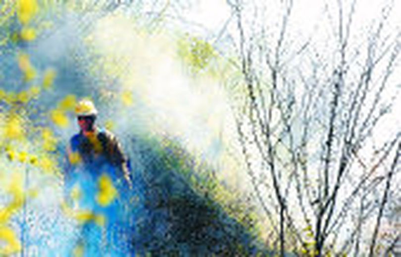
Small spring forest fires boost wildlife

NATIONAL FORESTS -- Expect to see scattered pillars of smoke emerging from selected areas of the region's national forests in the next six weeks. It's the "prescribed fire season," as forest managers and wildlife managers team to mimic Mother Nature's way of rejuvenating wildlife habitat.
Forest officials must carefully monitor weather to assure the fires are set when smoke will disperse and forests are still damp in spring to prevent fires from burning too hot or going out of control.
Read on for a list of planned controlled burns in the Colville National Forest.
Residents of the Colville Valley and those traveling near the Columbia River may see smoke west of Lake Roosevelt near Bangs Mountain and near the Deadman Creek drainage on the southeast side of C.C. Mountain. Motorists on Highway 395 and residents of Chewelah can expect to see smoke in the Quartzite watershed southeast of Chewelah. Crews also plan on conducting burning operations in the Little Pend Oreille Lakes area 20 miles east of Colville, as well as east of the Aladdin Highway on the upper third of Aladdin Mountain.
Residents in the Pend Oreille Valley and those traveling over Flowery Trail (County Road 2110) can expect to see smoke north of the Flowery Trail near Winchester Peak. Crews will also be conducting burns in the Browns lake area south of Highway 20 (Tiger highway), as well as near the Ruby Creek drainage 12 miles north of Cusick, WA. Burning will occur east of the Pend Oreille River in the Geophysical area near Indian Creek, 2.5 miles northeast of Furport, Washington.
Residents in Republic can expect to see smoke around the Swan Lake area, as well as north of Lambert Creek Road, on the north side of Boulder Pass, and around the Bubble Mountain area.
