February Trip of the Month: Chasing powder, turns on Idaho’s Tiger Peak

If you’re looking for deep powder, steep turns, solitude and adventure, you’ll hit pay dirt on the Silver Valley’s Tiger Peak.
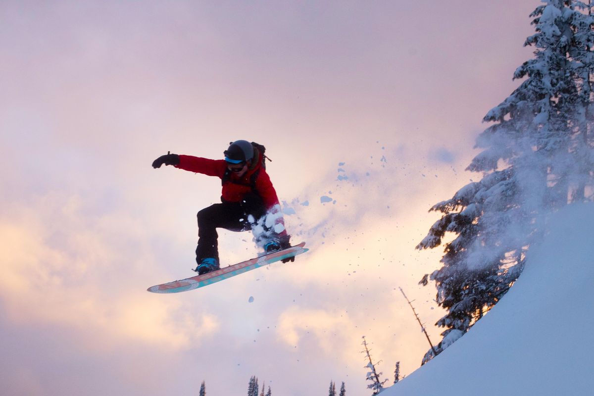
The 6,600-foot peak offers some of the region’s best backcountry skiing. Unlike other areas, it’s relatively easy to access.
Still, it’s a vigorous outing, requiring good fitness and avalanche avoidance know-how.
Those up to the challenge will be rewarded with backcountry skiing as good as (if not better than) more popular destinations like Canada’s Kootenay Pass. Plus, it’s closer.
In addition, remnants of the region’s mining history will greet you at every turn.
From Spokane, it’s an easy 1 1/2-hour drive. Most of the driving is on I-90, although the final 7 miles are on a two-lane highway.
Once you get off I-90 and start driving on Burke Canyon Road, you’ll pass through a number of mining ghost towns in addition to abandoned mining infrastructure.
We arrived at the trailhead, which is little more than a wide space in the road, and headed north up Gorge Gulch.
The start of the trail is obscured by a private residence on the right. If you stay to the left, you’ll be fine. Be respectful and don’t linger.
From there, travel uphill on an old mining road. Shortly after starting, you pass by a large log wall on the left. For the next mile stay on this road, often paralleling Gorge Gulch Creek.
In mid-February, after a few winter storms, the trail was well-covered, although there were two spots where warmer running water had melted the snow. After about eight-tenths of a mile, the road turns sharply uphill and to the left. Take the turn and continue on the road for another one-tenth of a mile until you’ve passed underneath a steeper snow slope. Be cautious here – that slope, while short, is steep enough to slide.
At this point, you should have traveled about a mile.
Although the road continues, leave it and head uphill.
(If you desire a safer, albeit longer route, stay on the road that contours just below timberline to a notch in ridge three-fourths of a mile northeast of Tiger Peak. From the notch, roughly follow the ridge southwest, dropping off slightly to Gorge Creek side for last one-third mile to the top of Tiger. Keep an eye out for windblown slabs.)
Tiger Peak is skied often enough that it’s possible there will already be a skin track set. Either way, evaluate your route carefully as there are pockets of avalanche terrain that should be avoided.
Either way, head northeast and cross four roads as you gain elevation. The slope is sparsely treed. A gully to your north has more trees but would be harder to navigate.
Once you pass over the fourth and final road, hug the treeline as you push through the final steep seven-tenths of a mile. By staying close to the trees you’ll avoid a steeper, more avalanche-prone south-facing aspect.
Near mile 2.3 (from the car) it’s possible to enter the trees (a cornice is present in a gully to your left). Weave through the trees, while continuing to gain elevation, until you come out of the near the top of windblown ridge.
Although the ridge is not the true summit, it bisects two great skiing options and is a good spot to start skiing down. Slightly below the ridge, it’s possible to dig snow pits on either aspect to test snow solidity. The ridge itself is windblown and a cornice is usually on the eastern side of the ridge.
From here, there are a number of ways to ski back to the car. The safest route more or less follows your route up, hugging the trees. On days with solid snowpack, however, steeper sections offer world-class fun. Either way, the skiing is excellent.
For those doing laps, it’s most economical to ski to the second road cut and rejoin your skin track there. This gives you more than 1,000 feet of vertical downhill skiing, which makes all the uphill work more than worth the effort.
Although the skiing below the second road cut can be fun, it’s lower-angle and lower-elevation. Snow quality and coverage can vary dramatically between the top 1,000 feet and the bottom 1,500.
If there is enough snow down low, it’s possible to ski from the top all the way back to the car. The final mile on the road is best described as survival skiing, with tight turns and plenty of obstacles.
Go slowly and pay attention to changing conditions.